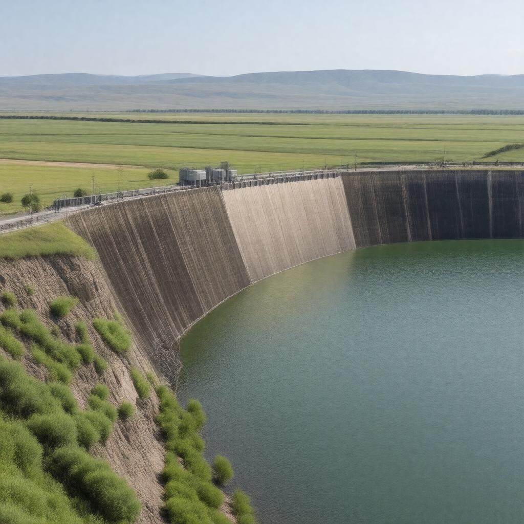
AI-created image
Statements (27)
| Predicate | Object |
|---|---|
| gptkbp:instanceOf |
gptkb:dam
|
| gptkbp:builtBy |
gptkb:U.S._Army_Corps_of_Engineers
|
| gptkbp:constructionStartYear |
1947
|
| gptkbp:country |
gptkb:United_States
|
| gptkbp:dam |
embankment dam
|
| gptkbp:height |
210 feet
|
| gptkbp:hydroelectricCapacity |
583 MW
|
| gptkbp:impounds |
gptkb:Lake_Sakakawea
|
| gptkbp:length |
11,300 feet
|
| gptkbp:locatedIn |
gptkb:North_Dakota
|
| gptkbp:locatedOnRiver |
gptkb:Missouri_River
|
| gptkbp:mapType |
gptkb:McLean_County,_North_Dakota
|
| gptkbp:nearestCity |
gptkb:Riverdale,_North_Dakota
|
| gptkbp:opened |
1953
|
| gptkbp:operatedBy |
gptkb:U.S._Army_Corps_of_Engineers
|
| gptkbp:partOf |
gptkb:Pick-Sloan_Missouri_Basin_Program
|
| gptkbp:purpose |
gptkb:navigation
flood control hydroelectric power irrigation recreation |
| gptkbp:reservoirCapacity |
23,821,000 acre-feet
|
| gptkbp:reservoirName |
gptkb:Lake_Sakakawea
|
| gptkbp:status |
operational
|
| gptkbp:bfsParent |
gptkb:Missouri_River
|
| gptkbp:bfsLayer |
4
|
| http://www.w3.org/2000/01/rdf-schema#label |
Garrison Dam
|