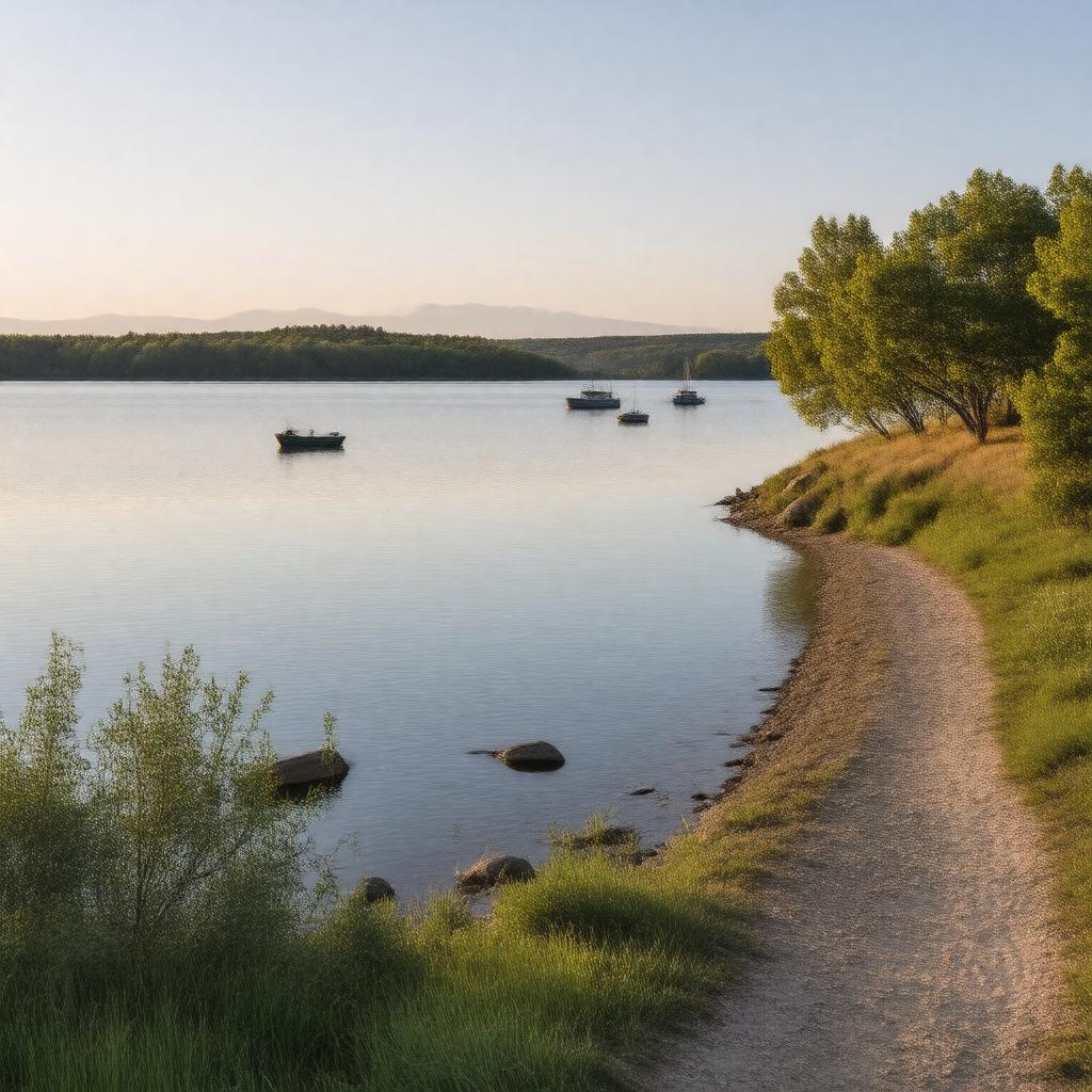
Lake Sakakawea

GPTKB entity

Statements (74)
Predicate Object
gptkbp:instance_of gptkb:reservoir
gptkbp:accessibility public access points
gptkbp:area 160,000 acres
gptkbp:average_temperature varies seasonally
gptkbp:climate continental climate
gptkbp:county gptkb:Mc_Kenzie_County
gptkb:Mercer_County
gptkb:Mountrail_County
Dunn County
Williams County
gptkbp:created_by gptkb:Garrison_Dam
gptkbp:cultural_significance named in honor of a Native American woman.
gptkbp:depth 30 feet
180 feet
gptkbp:drainage_basin 13,000 square miles
61,000 square miles
gptkbp:elevation 1,850 feet
gptkbp:established 1943
1953
gptkbp:fish_species gptkb:northern_pike
walleye
yellow perch
gptkbp:historical_significance hydroelectric power
irrigation
flood control
Native American history
part of the Pick-Sloan Plan
https://www.w3.org/2000/01/rdf-schema#label Lake Sakakawea
gptkbp:is_essential_for gptkb:wildlife
gptkb:educational_programs
gptkb:photography
water supply
water sports
wildlife observation
recreational fishing
fishing tournaments
gptkbp:located_in gptkb:North_Dakota
gptkbp:location gptkb:North_Dakota
gptkbp:managed_by gptkb:U._S._Army_Corps_of_Engineers
gptkbp:named_after gptkb:Sakakawea
gptkbp:parks gptkb:Fort_Stevenson_State_Park
gptkb:Lake_Sakakawea_State_Park
gptkb:Cross_Ranch_State_Park
gptkb:Garrison_Dam_Recreation_Area
gptkbp:part_of gptkb:Missouri_River_system
gptkbp:primary_use gptkb:recreation
flood control
gptkbp:recreation fishing
hiking
boating
camping
campgrounds
marinas
boating events
fishing tournaments
boat ramps
wildlife watching tours
gptkbp:surface 160,000 acres
gptkbp:surrounding_cities gptkb:Bismarck
Minot
Williston
gptkbp:visitors_per_year over 1 million
gptkbp:water_management 23,000,000 acre-feet
3.5 million acre-feet
gptkbp:water_quality varies seasonally
gptkbp:wildlife gptkb:great_blue_heron
gptkb:waterfowl
migratory birds
white-tailed deer
bald eagle
gptkbp:bfsParent gptkb:North_Dakota
gptkb:Missouri_River
gptkb:U._S._Route_1
gptkbp:bfsLayer 4