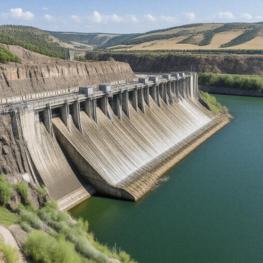
AI-created image
Statements (23)
| Predicate | Object |
|---|---|
| gptkbp:instanceOf |
gptkb:dam
|
| gptkbp:capacity |
320 MW
|
| gptkbp:constructionStartYear |
1946
|
| gptkbp:country |
gptkb:United_States
|
| gptkbp:height |
160 feet
|
| gptkbp:length |
10,700 feet
|
| gptkbp:locatedIn |
gptkb:South_Dakota
|
| gptkbp:locatedOnRiver |
gptkb:Missouri_River
|
| gptkbp:namedAfter |
gptkb:Fort_Randall
|
| gptkbp:nearestCity |
gptkb:Pickstown
|
| gptkbp:opened |
1956
|
| gptkbp:operatedBy |
gptkb:U.S._Army_Corps_of_Engineers
|
| gptkbp:purpose |
gptkb:navigation
flood control hydroelectric power irrigation recreation |
| gptkbp:reservoirCapacity |
5,700,000 acre-feet
|
| gptkbp:reservoirName |
gptkb:Lake_Francis_Case
|
| gptkbp:turbineCount |
8
|
| gptkbp:bfsParent |
gptkb:Missouri_River
|
| gptkbp:bfsLayer |
4
|
| http://www.w3.org/2000/01/rdf-schema#label |
Fort Randall Dam
|