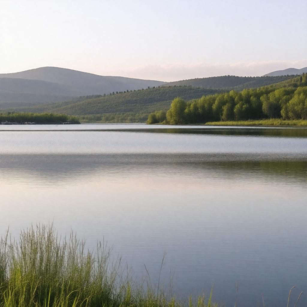
gptkbp:instanceOf
|
gptkb:reservoir
|
gptkbp:borderedBy
|
gptkb:Brookings_County
gptkb:Gregory_County
gptkb:Hughes_County
gptkb:Lyman_County
gptkb:Stanley_County
gptkb:Buffalo_County
gptkb:Aurora_County
gptkb:Beadle_County
gptkb:Bon_Homme_County
gptkb:Brule_County
gptkb:Charles_Mix_County
gptkb:Davison_County
gptkb:Hand_County
gptkb:Hutchinson_County
gptkb:Hyde_County
gptkb:Jerauld_County
gptkb:Kingsbury_County
gptkb:McCook_County
gptkb:Miner_County
gptkb:Moody_County
gptkb:Sanborn_County
gptkb:Sully_County
gptkb:Yankton_County
gptkb:Douglas_County
gptkb:Lake_County
|
gptkbp:createdBy
|
gptkb:Fort_Randall_Dam
|
gptkbp:hasCoastline
|
540 miles
|
gptkbp:hasFishSpecies
|
gptkb:fish
crappie
northern pike
perch
smallmouth bass
walleye
white bass
sauger
|
gptkbp:hasRecreation
|
gptkb:North_Point_Recreation_Area
gptkb:Pease_Creek_Recreation_Area
gptkb:Randall_Creek_Recreation_Area
gptkb:Snake_Creek_Recreation_Area
gptkb:Wheeler_Recreation_Area
|
https://www.w3.org/2000/01/rdf-schema#label
|
Lake Francis Case
|
gptkbp:length
|
107 miles
|
gptkbp:locatedIn
|
gptkb:South_Dakota
|
gptkbp:locatedOnRiver
|
gptkb:Missouri_River
|
gptkbp:managedBy
|
gptkb:U.S._Army_Corps_of_Engineers
|
gptkbp:maximumDepth
|
140 feet
|
gptkbp:namedAfter
|
gptkb:Francis_Higbee_Case
|
gptkbp:partOf
|
gptkb:Missouri_River_Reservoir_System
|
gptkbp:purpose
|
gptkb:navigation
flood control
hydroelectric power
irrigation
recreation
|
gptkbp:surface
|
102,000 acres
|
gptkbp:yearCompleted
|
1954
|
gptkbp:bfsParent
|
gptkb:Fort_Randall_Dam
gptkb:Missouri_River_Basin
|
gptkbp:bfsLayer
|
5
|