Prompt
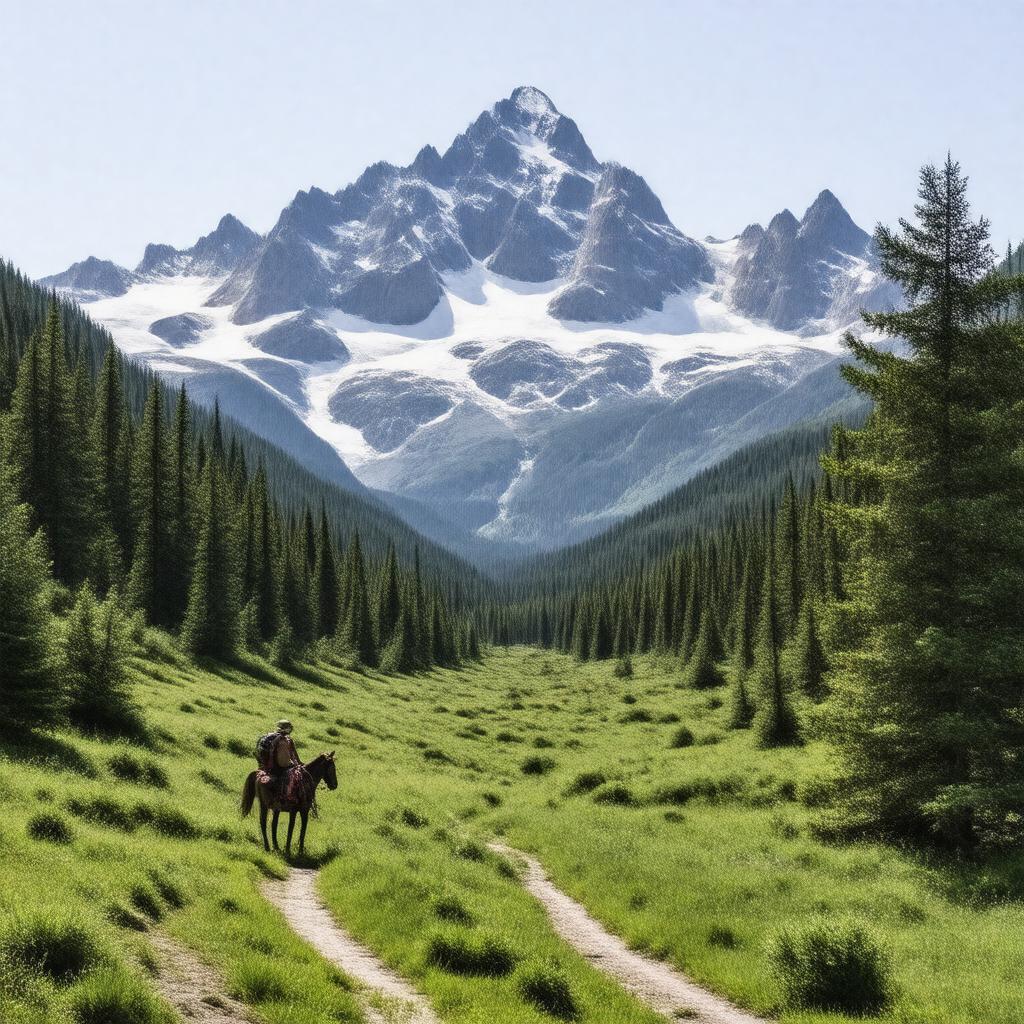
"Generate an image of a serene and vast wilderness landscape, featuring the Wind River Range with Gannett Peak in the background, surrounded by lush greenery and possibly with the Dinwoody Glacier and Gannett Glacier visible in the distance. In the foreground, depict a tranquil scene with a hiking trail, backpackers, and a horseback rider, all set within the Fitzpatrick Wilderness area in Wyoming, USA. The image should convey a sense of untouched natural beauty, adhering to a realistic style with accurate representation of the terrain, vegetation, and recreational activities allowed in the area."

