gptkbp:instanceOf
|
gptkb:nature_reserve
|
gptkbp:area
|
692.8 km²
|
gptkbp:contains
|
gptkb:Exmoor
gptkb:Porlock_Bay
Dunkery Beacon
Tarr Steps
Valley of Rocks
|
gptkbp:established
|
1954
|
gptkbp:governingBody
|
Exmoor National Park Authority
|
gptkbp:habitat
|
gptkb:forest
Coastline
Moorland
Valleys
|
gptkbp:hasRiver
|
gptkb:River_Exe
gptkb:River_Barle
gptkb:River_Lyn
|
gptkbp:hasVillage
|
gptkb:Dulverton
gptkb:Lynmouth
gptkb:Lynton
gptkb:Porlock
gptkb:Barbrook
gptkb:Bratton_Fleming
gptkb:Brendon
gptkb:Challacombe
gptkb:Countisbury
gptkb:Cutcombe
gptkb:Exford
gptkb:Luxborough
gptkb:Malmsmead
gptkb:Martinhoe
gptkb:Oare
gptkb:Parracombe
gptkb:Porlock_Weir
gptkb:Simonsbath
gptkb:Timberscombe
gptkb:Wheddon_Cross
gptkb:Winsford
gptkb:Withypool
|
gptkbp:hasWildlife
|
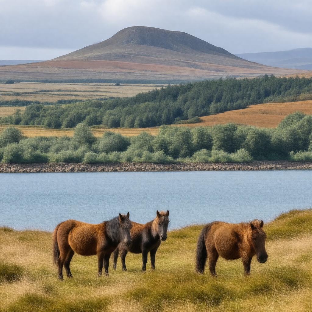
Exmoor pony
Heath fritillary butterfly
Red deer
|
gptkbp:highestPoint
|
Dunkery Beacon
519 m
|
https://www.w3.org/2000/01/rdf-schema#label
|
Exmoor National Park
|
gptkbp:locatedIn
|
gptkb:Devon
gptkb:England
gptkb:Somerset
gptkb:South_West_England
|
gptkbp:UNESCOBiosphereReserve
|
Yes
|
gptkbp:bfsParent
|
gptkb:Bristol_Channel
gptkb:Devon
gptkb:Devon,_England
gptkb:Exmoor
gptkb:North_Devon
gptkb:Somerset
gptkb:Minehead,_Somerset,_England
|
gptkbp:bfsLayer
|
5
|