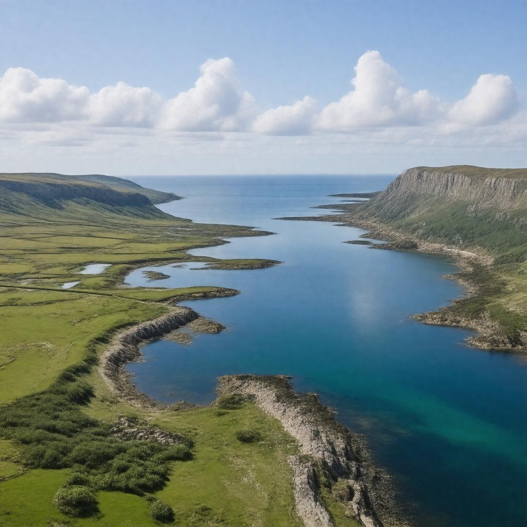
gptkbp:instanceOf
|
gptkb:clubhouse
|
gptkbp:borders
|
gptkb:Barry
gptkb:Cardiff
gptkb:England
gptkb:Wales
gptkb:Ilfracombe
gptkb:Minehead
gptkb:Portishead
gptkb:Weston-super-Mare
|
gptkbp:connectsTo
|
gptkb:Celtic_Sea
gptkb:Severn_Estuary
|
gptkbp:hasIsland
|
gptkb:Denny_Island
gptkb:Flat_Holm
gptkb:Lundy
gptkb:Steep_Holm
gptkb:Sully_Island
|
gptkbp:historicalEvent
|
gptkb:Bristol_Channel_floods_of_1607
World War II coastal defenses
|
https://www.w3.org/2000/01/rdf-schema#label
|
Bristol Channel
|
gptkbp:length
|
approximately 137 km
|
gptkbp:locatedIn
|
gptkb:United_Kingdom
|
gptkbp:mainRiver
|
gptkb:River_Avon
gptkb:River_Severn
gptkb:River_Taff
gptkb:River_Tawe
gptkb:River_Usk
gptkb:River_Neath
gptkb:River_Ogmore
gptkb:River_Parrett
|
gptkbp:notableFeature
|
gptkb:bus_route
wildlife habitats
estuaries
coastal cliffs
mudflats
sandbanks
large tidal range
|
gptkbp:protectedArea
|
gptkb:Exmoor_National_Park
gptkb:Bridgwater_Bay_National_Nature_Reserve
gptkb:Glamorgan_Heritage_Coast
gptkb:Severn_Estuary_Special_Area_of_Conservation
|
gptkbp:separates
|
gptkb:South_West_England
gptkb:South_Wales
|
gptkbp:usedFor
|
fishing
recreation
shipping
tourism
renewable energy potential
|
gptkbp:width
|
approximately 50 km
approximately 8 km
|
gptkbp:bfsParent
|
gptkb:River_Severn
gptkb:Wales
|
gptkbp:bfsLayer
|
4
|