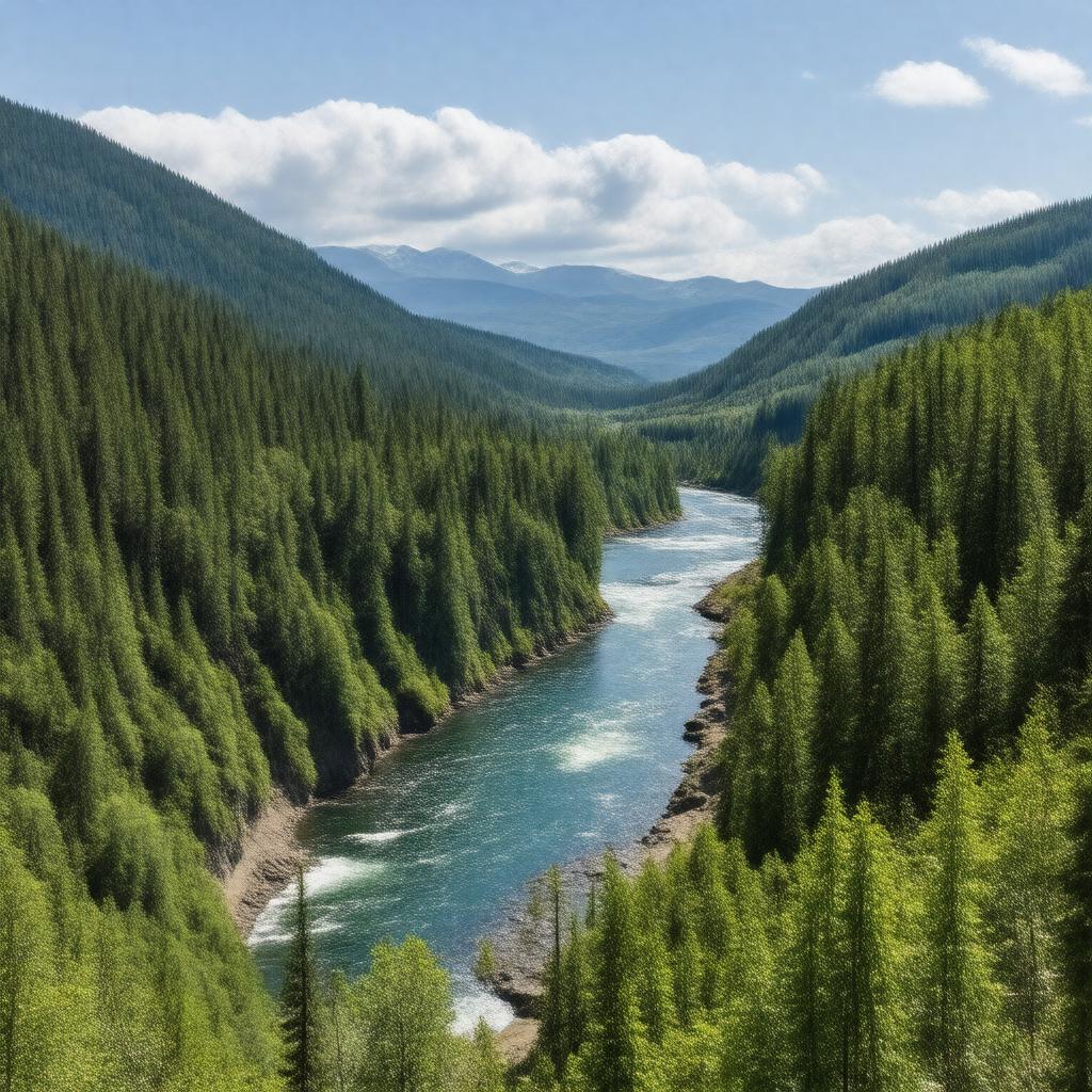
gptkbp:instanceOf
|
gptkb:valley
|
gptkbp:climate
|
transitional
|
gptkbp:contains
|
gptkb:Bonneville_Dam
gptkb:Multnomah_Falls
gptkb:Vista_House
gptkb:Eagle_Creek
gptkb:Beacon_Rock
gptkb:Bridal_Veil_Falls
gptkb:Bridge_of_the_Gods
gptkb:Cape_Horn
gptkb:Cascade_Locks
gptkb:Dog_Mountain
gptkb:Hood_River
gptkb:Horsetail_Falls
gptkb:Larch_Mountain
gptkb:Latourell_Falls
gptkb:Mosier
gptkb:Rowena_Crest
gptkb:Stevenson
gptkb:The_Dalles
|
gptkbp:crosses
|
gptkb:Union_Pacific_Railroad
gptkb:Interstate_84
gptkb:U.S._Route_30
gptkb:BNSF_Railway
|
gptkbp:designation
|
gptkb:nature_reserve
|
gptkbp:designationYear
|
1986
|
gptkbp:easternClimate
|
dry grasslands
|
gptkbp:formedBy
|
gptkb:Columbia_River
|
gptkbp:hasBiodiversity
|
high
|
gptkbp:highestPoint
|
gptkb:Larch_Mountain
|
gptkbp:historicalSignificance
|
gptkb:Lewis_and_Clark_Expedition
Native American history
|
https://www.w3.org/2000/01/rdf-schema#label
|
Columbia River Gorge
|
gptkbp:length
|
about 80 miles
|
gptkbp:locatedIn
|
gptkb:Oregon
gptkb:Pacific_Northwest
gptkb:United_States
gptkb:Washington
|
gptkbp:lowestPoint
|
gptkb:Columbia_River
|
gptkbp:maximumDepth
|
up to 4,000 feet
|
gptkbp:nearestCity
|
gptkb:Portland,_Oregon
gptkb:Vancouver,_Washington
|
gptkbp:notableFor
|
hiking
scenic beauty
waterfalls
windsurfing
wildflowers
|
gptkbp:protectedBy
|
gptkb:U.S._Forest_Service
gptkb:Columbia_River_Gorge_Commission
|
gptkbp:recreationalActivity
|
birdwatching
camping
cycling
fishing
hiking
kayaking
windsurfing
rock climbing
scenic driving
|
gptkbp:UNESCOStatus
|
not a World Heritage Site
|
gptkbp:westernClimate
|
gptkb:tropical_rainforest
|
gptkbp:bfsParent
|
gptkb:Columbia_River
gptkb:Multnomah_County
gptkb:Oregon
gptkb:Oregon,_United_States
|
gptkbp:bfsLayer
|
4
|