Brooks Range

GPTKB entity
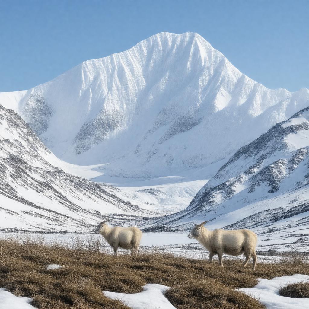
AI-created image of Brooks Range
AI-created image

Statements (52)
Predicate Object
gptkbp:instanceOf mountain range
gptkbp:age Mesozoic
gptkbp:climate arctic
gptkbp:contains gptkb:Gates_of_the_Arctic_National_Park
gptkb:Arctic_National_Wildlife_Refuge
gptkbp:country gptkb:United_States
gptkbp:crosses gptkb:Dalton_Highway
gptkb:Trans-Alaska_Pipeline
gptkbp:explores gptkb:John_Franklin
gptkb:Robert_Kennicott
gptkbp:extendsTo gptkb:Chukchi_Sea
gptkb:Yukon_Territory
gptkbp:fauna gptkb:Dall_sheep
gptkb:deer
gptkb:lion
gptkb:arctic_fox
gptkbp:flora tundra vegetation
gptkbp:formsNorthernBoundaryOf gptkb:Alaskan_Interior
gptkbp:geology geological formation
gptkbp:hasIndigenousPeoples gptkb:Gwich'in
gptkb:Koyukon
Indigenous people
gptkbp:highestPoint gptkb:Mount_Isto
2736 meters
https://www.w3.org/2000/01/rdf-schema#label Brooks Range
gptkbp:latitude approximately 68°N
gptkbp:length about 700 miles
gptkbp:locatedIn gptkb:Alaska
gptkb:United_States
gptkbp:longitude approximately 150°W
gptkbp:namedAfter gptkb:Alfred_Hulse_Brooks
gptkbp:notableBuilding gptkb:Anaktuvuk_River
gptkb:Chandalar_River
gptkb:Colville_River
gptkb:John_River
gptkb:Kobuk_River
gptkb:Noatak_River
gptkb:Sagavanirktok_River
gptkbp:notableFor gptkb:Anaktuvuk_Pass
gptkb:Atigun_Pass
gptkbp:notablePeak gptkb:Mount_Chamberlin
gptkb:Mount_Hubley
gptkb:Mount_Michelson
gptkbp:partOf gptkb:Arctic_Cordillera
gptkbp:protectedArea gptkb:Gates_of_the_Arctic_National_Park
gptkb:Arctic_National_Wildlife_Refuge
gptkbp:region gptkb:Northern_Alaska
gptkbp:watershedDivide gptkb:Arctic_Ocean
gptkb:Pacific_Ocean
gptkbp:bfsParent gptkb:Alaska
gptkb:Nordamerika
gptkbp:bfsLayer 4