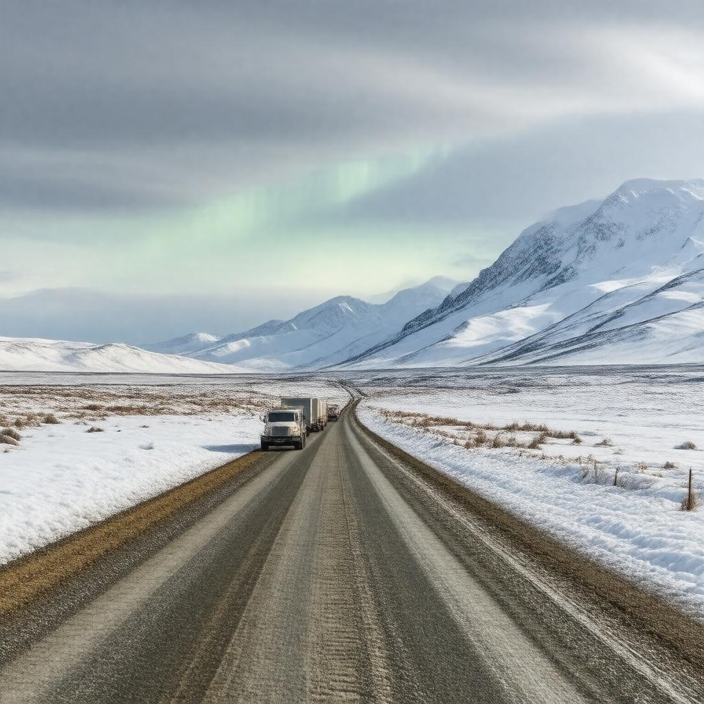
gptkbp:instance_of
|
gptkb:Highway
|
gptkbp:connects
|
gptkb:Prudhoe_Bay
gptkb:Elliott_Highway
|
gptkbp:constructed_in
|
ongoing
|
gptkbp:crosses
|
gptkb:Yukon_River
gptkb:North_Slope_Borough
|
gptkbp:emergency_services
|
limited
|
gptkbp:ends_at
|
Deadhorse
|
gptkbp:features
|
scenic views
|
gptkbp:has_access_to
|
gptkb:Trans-Alaska_Pipeline_System
Deadhorse
|
gptkbp:has_limited_services
|
gas stations
|
gptkbp:has_rest_areas
|
yes
|
https://www.w3.org/2000/01/rdf-schema#label
|
Dalton Highway
|
gptkbp:is_a_road_that_connects
|
the interior of Alaska to the North Slope
|
gptkbp:is_a_road_that_has_a_rich_history
|
nan
|
gptkbp:is_a_road_that_has_a_unique_ecosystem
|
nan
|
gptkbp:is_a_road_that_has_few_amenities
|
nan
|
gptkbp:is_a_road_that_has_few_intersections
|
nan
|
gptkbp:is_a_road_that_has_limited_cell_service
|
nan
|
gptkbp:is_a_road_that_has_unique_geological_features
|
nan
|
gptkbp:is_a_road_that_is_essential_for
|
gptkb:emergency_services
|
gptkbp:is_a_road_that_is_known_for
|
its breathtaking views
|
gptkbp:is_a_road_that_is_often_traveled_by
|
adventure seekers
motorcyclists
|
gptkbp:is_a_route_for
|
tourists
commercial vehicles
heavy trucks
expeditions
extreme temperatures
transporting goods
adventurers
travel blogs
the oil industry
oil transport
its challenging driving conditions
Haul Road
|
gptkbp:is_a_route_that_crosses
|
the Arctic tundra
|
gptkbp:is_a_route_that_is_maintained_year-round
|
by the state
|
gptkbp:is_a_route_that_is_often_closed_in_winter
|
nan
|
gptkbp:is_a_route_that_is_often_traveled_by
|
hikers.
|
gptkbp:is_a_route_that_is_popular_among
|
gptkb:photographers
|
gptkbp:is_a_vital_link_for
|
local communities
|
gptkbp:is_accessible_by
|
gptkb:motorcycles
gptkb:vehicles
bicycles
cars
airplanes
|
gptkbp:is_characterized_by
|
remote landscapes
|
gptkbp:is_considered
|
one of the most isolated roads
|
gptkbp:is_featured_in
|
gptkb:documentaries
travel guides
|
gptkbp:is_known_for
|
extreme weather
harsh weather conditions
wildlife sightings
its isolation
its remoteness
long stretches without services
|
gptkbp:is_maintained_by
|
gptkb:Alaska_Department_of_Transportation
seasonally
|
gptkbp:is_notable_for
|
gptkb:transportation
gptkb:tourism
gptkb:hiking_trails
cultural experiences
historic sites
oil fields
road trips
landscapes
wildlife viewing
fishing spots
remote communities
native wildlife
photography opportunities
remote access
pipeline construction
winter travel
summer travel
extreme driving conditions
Ice Road Truckers
|
gptkbp:is_often_closed_due_to
|
snowstorms
|
gptkbp:is_often_described_as
|
the Haul Road
|
gptkbp:is_part_of
|
gptkb:Alaska_Scenic_Byways
gptkb:Arctic_Circle
gptkb:Trans-Alaska_Pipeline_System
Alaska Route 11
|
gptkbp:is_popular_in
|
adventurers
|
gptkbp:is_used_by
|
tourists
truckers
|
gptkbp:is_used_for
|
recreational activities
oil transport
|
gptkbp:known_for
|
remote wilderness
|
gptkbp:length
|
414 miles
|
gptkbp:location
|
gptkb:Alaska
|
gptkbp:max_speed
|
55 mph
|
gptkbp:opened
|
gptkb:1974
|
gptkbp:route
|
gptkb:the_Arctic_Ocean
|
gptkbp:scenic_views
|
road trippers
Atigun Pass
Finger Mountain
|
gptkbp:serves
|
gptkb:North_Slope_oil_fields
|
gptkbp:used_by
|
truckers
|
gptkbp:weather_conditions
|
harsh
|
gptkbp:wildlife
|
gptkb:carnivore
gptkb:moose
bears
|
gptkbp:bfsParent
|
gptkb:Steese_Highway
gptkb:Coldfoot
|
gptkbp:bfsLayer
|
6
|