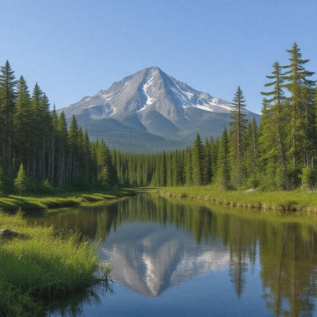
gptkbp:instanceOf
|
gptkb:nature_reserve
|
gptkbp:annualVisitors
|
~60,000
|
gptkbp:area
|
209,644 acres
|
gptkbp:contains
|
gptkb:Mount_Katahdin
gptkb:Abol_Stream
gptkb:Chimney_Pond
gptkb:Daicey_Pond
gptkb:Doubletop_Mountain
gptkb:Hamlin_Peak
gptkb:North_Brother
gptkb:Owl_Mountain
gptkb:Russell_Pond
gptkb:South_Branch_Pond
gptkb:South_Brother
gptkb:Wassataquoik_Stream
|
gptkbp:country
|
gptkb:United_States
|
gptkbp:elevation
|
5,269 ft (Mount Katahdin)
|
gptkbp:established
|
1931
|
gptkbp:fauna
|
gptkb:bird
gptkb:lake
gptkb:lion
black bear
moose
white-tailed deer
loons
brook trout
|
gptkbp:flora
|
boreal forest
|
gptkbp:governingBody
|
gptkb:Baxter_State_Park_Authority
|
gptkbp:highestPoint
|
gptkb:Mount_Katahdin
|
https://www.w3.org/2000/01/rdf-schema#label
|
Baxter State Park
|
gptkbp:latitude
|
45.9042° N
|
gptkbp:location
|
gptkb:Maine
gptkb:Piscataquis_County
|
gptkbp:longitude
|
-68.9216° W
|
gptkbp:mapType
|
Maine#USA
|
gptkbp:namedAfter
|
gptkb:Percival_P._Baxter
|
gptkbp:nearestCity
|
gptkb:Millinocket
|
gptkbp:notableEvent
|
Percival Baxter's land donations (1931–1962)
|
gptkbp:notableFeature
|
gptkb:Chimney_Pond_Campground
gptkb:Knife_Edge_Trail
gptkb:Roaring_Brook_Campground
|
gptkbp:notableFor
|
camping
hiking
wildlife observation
end of Appalachian Trail
wilderness recreation
|
gptkbp:prohibits
|
logging
ATVs
hunting (in most areas)
snowmobiling (except on designated trails)
|
gptkbp:trailhead
|
gptkb:Matagamon_Gatehouse
gptkb:Togue_Pond_Gatehouse
|
gptkbp:website
|
https://baxterstatepark.org/
|
gptkbp:bfsParent
|
gptkb:Maine
|
gptkbp:bfsLayer
|
4
|