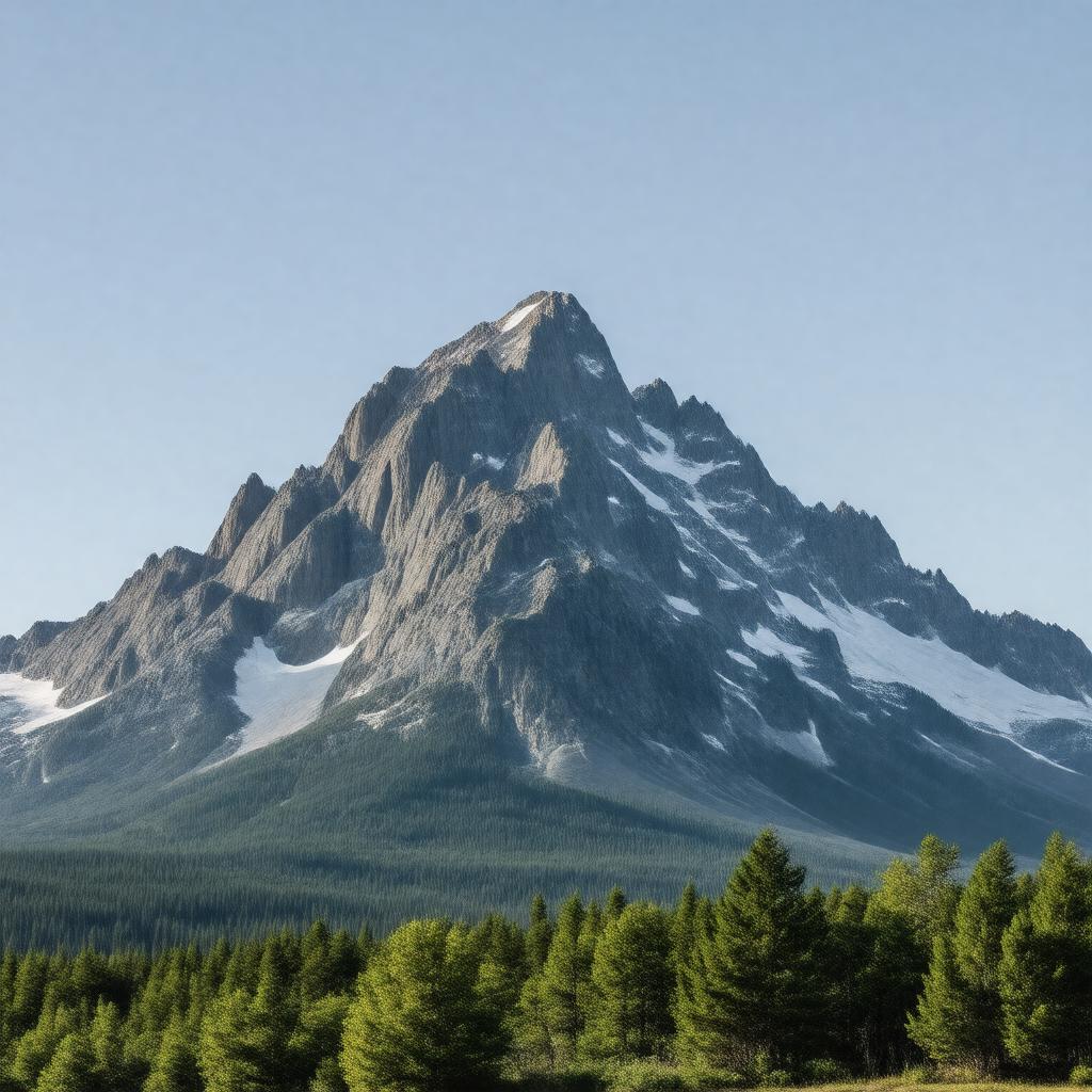
gptkbp:instance_of
|
gptkb:mountain
|
gptkbp:accessibility
|
seasonal
|
gptkbp:area
|
gptkb:recreational_area
|
gptkbp:attracts
|
hikers
|
gptkbp:climate
|
temperate climate
humid continental
|
gptkbp:cultural_significance
|
sacred to the Penobscot Nation
|
gptkbp:elevation
|
5,267 feet
5267 feet
|
gptkbp:environmental_concerns
|
gptkb:protected_area
|
gptkbp:fauna
|
gptkb:amphibians
various bird species
small mammals
reptiles
|
gptkbp:features
|
gptkb:Knife_Edge_Trail
|
gptkbp:first_ascent
|
gptkb:John_D._Rockefeller_Jr.
August 20, 1804
|
gptkbp:flora
|
boreal forest
|
gptkbp:geological_features
|
gptkb:granite
gptkb:Paleozoic_Era
|
gptkbp:has_public_transport
|
gptkb:Katahdin_Woods_and_Waters_National_Monument
|
gptkbp:highest_point
|
gptkb:Maine
|
gptkbp:historical_significance
|
site of early American exploration
|
https://www.w3.org/2000/01/rdf-schema#label
|
Mount Katahdin
|
gptkbp:is_a
|
gptkb:State_Park
gptkb:Nature_Reserve
gptkb:natural_wonder
gptkb:National_Park
gptkb:tourist_attraction
gptkb:archaeological_site
gptkb:recreational_area
gptkb:cultural_heritage_site
gptkb:environment
gptkb:historical_site
gptkb:protected_area
gptkb:historical_landmark
gptkb:cultural_landmark
gptkb:geographical_feature
stratovolcano
hiking destination
popular climbing destination
outdoor recreation area
tourist site
natural heritage site
environmental conservation area
state landmark
geological landmark
environmental site
landscape feature
wilderness area
recreational landmark
sacred place
natural beauty spot
natural observation site
climbing area
outdoor landmark
outdoor adventure site
natural observation area
natural exploration area
natural exploration site
|
gptkbp:is_accessible_by
|
gptkb:Appalachian_Trail
|
gptkbp:is_home_to
|
various plant species
|
gptkbp:is_known_for
|
scenic views
|
gptkbp:is_located_in
|
gptkb:Piscataquis_County
|
gptkbp:is_part_of
|
gptkb:Appalachian_Mountains
gptkb:Baxter_State_Park
gptkb:Katahdin_Woods_and_Waters_National_Monument
|
gptkbp:landforms
|
glacially carved mountain
|
gptkbp:landmark
|
highest point in Maine
|
gptkbp:local_attraction
|
gptkb:Katahdin_Iron_Works
gptkb:Katahdin_Stream_Falls
Baxter Peak Trail
Mount Katahdin Trailhead
|
gptkbp:located_in
|
gptkb:Maine
|
gptkbp:location
|
gptkb:Maine
|
gptkbp:named_after
|
gptkb:Katahdin
Katahdin (the Penobscot word for 'the greatest mountain')
|
gptkbp:nearest_city
|
gptkb:Millinocket
|
gptkbp:notable_feature
|
gptkb:Katahdin's_Knife_Edge
|
gptkbp:parks
|
gptkb:Maine_Bureau_of_Parks_and_Lands
|
gptkbp:part_of
|
gptkb:Baxter_State_Park
|
gptkbp:popular_activities
|
hiking
|
gptkbp:prominence
|
2,000 feet
3,982 feet
|
gptkbp:recreation
|
fishing
camping
rock climbing
wildlife watching
|
gptkbp:summit
|
gptkb:Hamlin_Peak
gptkb:Baxter_Peak
|
gptkbp:surrounding_area
|
gptkb:Appalachian_Mountains
|
gptkbp:trails
|
gptkb:Appalachian_Trail
varies from moderate to strenuous
|
gptkbp:viewpoint
|
gptkb:Roaring_Brook_Campground
gptkb:Chimney_Pond
Katahdin Stream Campground
|
gptkbp:weather_conditions
|
snowy winters
cool summers
|
gptkbp:wildlife
|
gptkb:Bear
gptkb:moose
white-tailed deer
|
gptkbp:bfsParent
|
gptkb:Appalachian_Trail
gptkb:Maine
|
gptkbp:bfsLayer
|
4
|