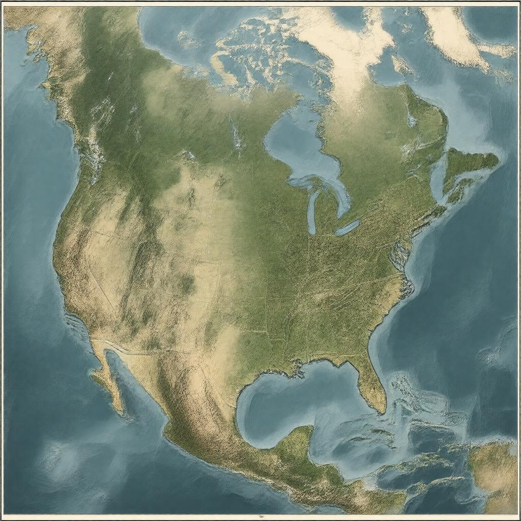
Prompt
"Generate an image of a representative map of eastern North America, showcasing its geographical features such as the Appalachian Mountains, Atlantic Coastal Plain, Great Lakes, New England, Mid-Atlantic states, Southeastern United States, and Eastern Canada. Include notable cities like New York City, Toronto, Boston, Philadelphia, Washington, D.C., Atlanta, Montreal, and Miami. Depict major rivers like St. Lawrence River, Mississippi River, Hudson River, Potomac River, and Susquehanna River, as well as prominent lakes like Lake Ontario, Lake Erie, Lake Michigan, Lake Huron, and Lake Superior. The image should reflect the region's diverse climate, including humid continental and humid subtropical areas. Incorporate elements representing the region's biodiversity, such as temperate forests, deciduous forests, and wetlands. The style should be a realistic, detailed illustration, suitable for an educational or informative context."

