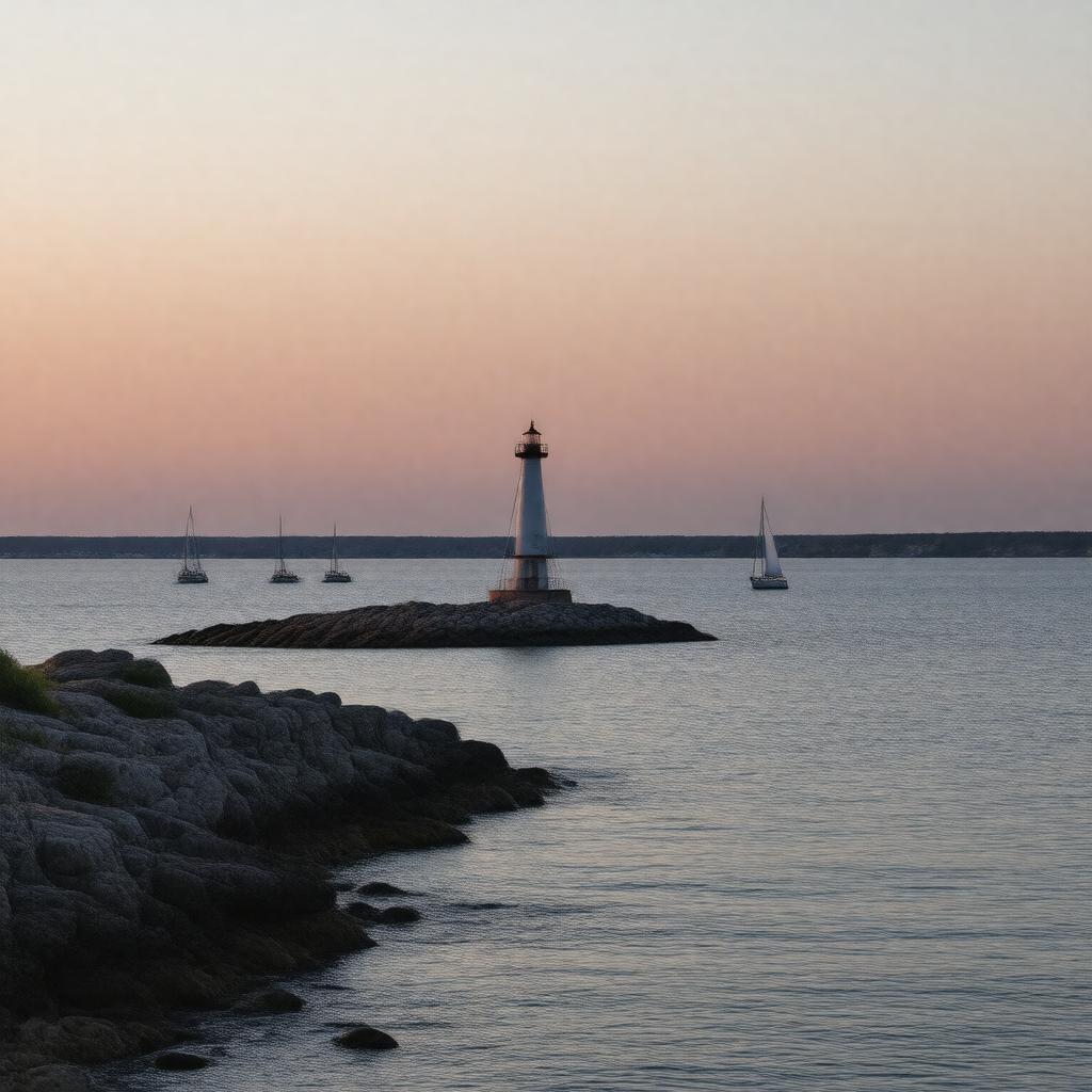
gptkbp:instanceOf
|
gptkb:lake
|
gptkbp:area
|
59,600 km²
|
gptkbp:borderedBy
|
gptkb:Michigan
gptkb:Ontario
|
gptkbp:connectedTo
|
gptkb:Lake_Erie
gptkb:Lake_Michigan
gptkb:Lake_Superior
|
gptkbp:elevation
|
176 m
|
gptkbp:hasBay
|
gptkb:Georgian_Bay
gptkb:Saginaw_Bay
|
gptkbp:hasCoastline
|
6,157 km
|
gptkbp:hasFishSpecies
|
lake trout
northern pike
smallmouth bass
walleye
|
gptkbp:hasLighthouse
|
gptkb:Grindstone_City_Lighthouse
gptkb:Mackinac_Island_Lighthouse
gptkb:Pointe_aux_Barques_Lighthouse
|
gptkbp:hasPeninsula
|
gptkb:Bruce_Peninsula
gptkb:Presqu'ile_Peninsula
|
gptkbp:hasPort
|
gptkb:Bay_City
gptkb:Goderich
gptkb:Port_Huron
gptkb:Sarnia
|
gptkbp:hasShipwreck
|
over 1,000
|
https://www.w3.org/2000/01/rdf-schema#label
|
Lake Huron
|
gptkbp:inflow
|
gptkb:St._Marys_River
|
gptkbp:island
|
gptkb:Bois_Blanc_Island
gptkb:Mackinac_Island
gptkb:Manitoulin_Island
|
gptkbp:locatedIn
|
gptkb:Canada
gptkb:North_America
gptkb:United_States
|
gptkbp:majorCity
|
gptkb:Bay_City
gptkb:Goderich
gptkb:Port_Huron
gptkb:Sarnia
|
gptkbp:maximumDepth
|
229 m
59 m
|
gptkbp:namedFor
|
French explorers
|
gptkbp:nameOrigin
|
gptkb:Huron_people
|
gptkbp:outflow
|
gptkb:St._Clair_River
|
gptkbp:partOf
|
gptkb:Great_Lakes
|
gptkbp:protectedArea
|
gptkb:Fathom_Five_National_Marine_Park
gptkb:Thunder_Bay_National_Marine_Sanctuary
|
gptkbp:separates
|
gptkb:Lake_Michigan
gptkb:Straits_of_Mackinac
|
gptkbp:UNESCOBiosphereReserve
|
gptkb:Georgian_Bay_Littoral
|
gptkbp:volume
|
3,540 km³
|
gptkbp:bfsParent
|
gptkb:Lake_Erie
gptkb:Lake_Michigan
gptkb:Michigan
gptkb:Midwestern_United_States
gptkb:Ontario
gptkb:USA
gptkb:fish
|
gptkbp:bfsLayer
|
4
|