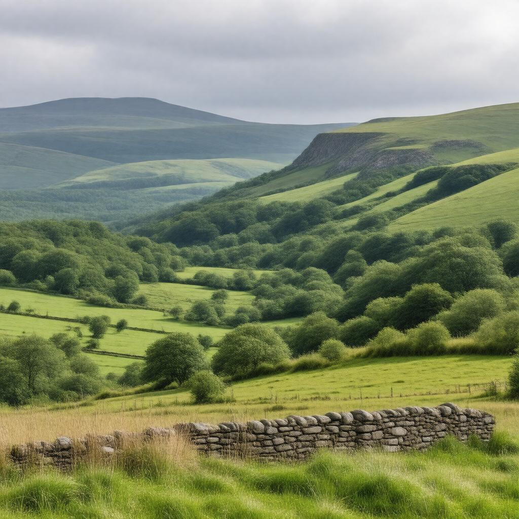
Statements (59)
Predicate | Object |
---|---|
gptkbp:instance_of |
gptkb:National_Park
|
gptkbp:area |
1,762 square kilometers
|
gptkbp:attracts |
tourists
|
gptkbp:average_rainfall |
1,200 mm per year
|
gptkbp:borders |
gptkb:Lake_District_National_Park
North Pennines Area of Outstanding Natural Beauty |
gptkbp:climate |
temperate maritime
|
gptkbp:contains |
gptkb:wildlife
gptkb:Richmond gptkb:Brimham_Rocks gptkb:Malham_Cove gptkb:Settle gptkb:Fountains_Abbey Aysgarth Falls Hawes Leyburn Swaledale Wensleydale Skipton Bolton Abbey Ingleborough Gordale Scar Malham Tarn historic sites Wharfedale villages Grassington Settle-Carlisle Railway Askrigg Ribblehead Viaduct Yorkshire Dales Railway market towns Reeth Sedbergh Langstrothdale Kettlewell Cautley Spout |
gptkbp:established |
gptkb:1954
|
gptkbp:features |
gptkb:river
gptkb:moorland waterfalls caves valleys sheep farming limestone hills dry stone walls |
gptkbp:governed_by |
gptkb:Yorkshire_Dales_National_Park_Authority
|
gptkbp:highest_point |
gptkb:River_Wharfe
30 meters Whernside 736 meters |
https://www.w3.org/2000/01/rdf-schema#label |
Yorkshire Dales
|
gptkbp:located_in |
gptkb:England
|
gptkbp:part_of |
Yorkshire and the Humber region
|
gptkbp:popular_activities |
hiking
cycling rock climbing |
gptkbp:bfsParent |
gptkb:England
|
gptkbp:bfsLayer |
4
|