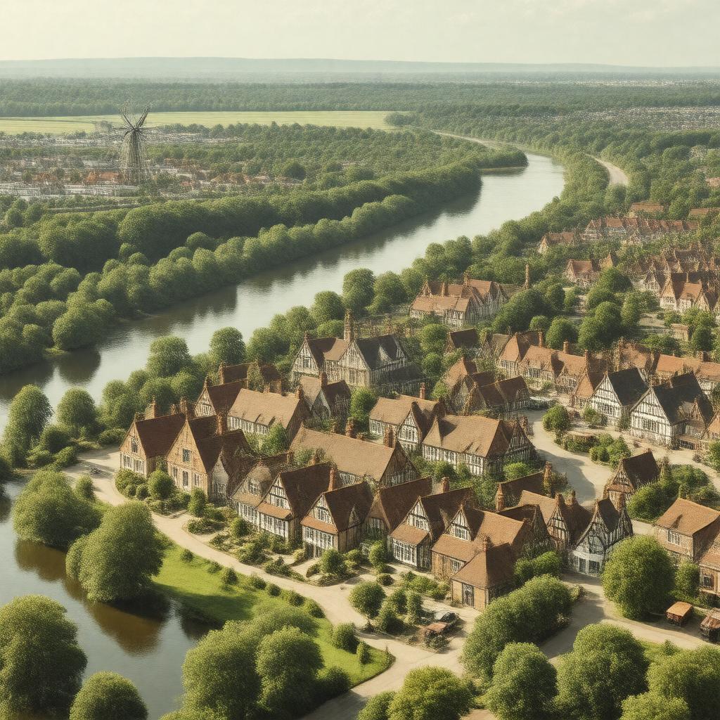
gptkbp:instanceOf
|
gptkb:town
|
gptkbp:country
|
gptkb:England
|
gptkbp:dialCode
|
01708
|
gptkbp:distanceFromLondon
|
16.5 miles east-northeast
|
gptkbp:hasFootballClub
|
gptkb:Upminster_Town_FC
|
gptkbp:hasGolfCourse
|
gptkb:Upminster_Golf_Club
|
gptkbp:hasHistoricSite
|
gptkb:Tithe_Barn
gptkb:Upminster_Hall
|
gptkbp:hasLandmark
|
gptkb:St_Laurence_Church
Upminster Windmill
|
gptkbp:hasLeisureCentre
|
gptkb:Cranham_Leisure_Centre
|
gptkbp:hasLibrary
|
gptkb:Upminster_Library
|
gptkbp:hasLondonUndergroundStation
|
Upminster station
|
gptkbp:hasMuseum
|
gptkb:Tithe_Barn_Museum_of_Nostalgia
|
gptkbp:hasPark
|
Upminster Park
|
gptkbp:hasPrimarySchool
|
gptkb:Upminster_Infant_School
|
gptkbp:hasRailwayStation
|
Upminster station
|
gptkbp:hasRiver
|
gptkb:River_Ingrebourne
|
gptkbp:hasSecondarySchool
|
gptkb:Coopers'_Company_and_Coborn_School
gptkb:Hall_Mead_School
|
gptkbp:hasServiceTo
|
gptkb:London_Buses
|
gptkbp:hasShoppingCentre
|
gptkb:Upminster_town_centre
|
gptkbp:hasTheatre
|
Queen's Theatre (nearby in Hornchurch)
|
gptkbp:hasWindmill
|
Upminster Windmill
|
gptkbp:historicalCounty
|
gptkb:Essex
|
https://www.w3.org/2000/01/rdf-schema#label
|
Upminster
|
gptkbp:latitude
|
51.558
|
gptkbp:locatedIn
|
gptkb:Greater_London
gptkb:London_Borough_of_Havering
|
gptkbp:longitude
|
0.251
|
gptkbp:neighboringMunicipality
|
gptkb:Brentwood
gptkb:Aveley
gptkb:Bulphan
gptkb:Rainham
gptkb:South_Ockendon
Cranham
Harold Wood
Hornchurch
North Ockendon
Romford
|
gptkbp:parish
|
gptkb:St_Laurence_Church
|
gptkbp:parliamentaryConstituency
|
Hornchurch and Upminster
|
gptkbp:population
|
13,347
|
gptkbp:postcodeDistrict
|
gptkb:RM14
|
gptkbp:postTown
|
gptkb:Upminster
|
gptkbp:region
|
gptkb:London
|
gptkbp:servedBy
|
gptkb:London_Overground
gptkb:London_Underground_District_line
gptkb:c2c_rail_services
|
gptkbp:bfsParent
|
gptkb:London_Underground
|
gptkbp:bfsLayer
|
4
|