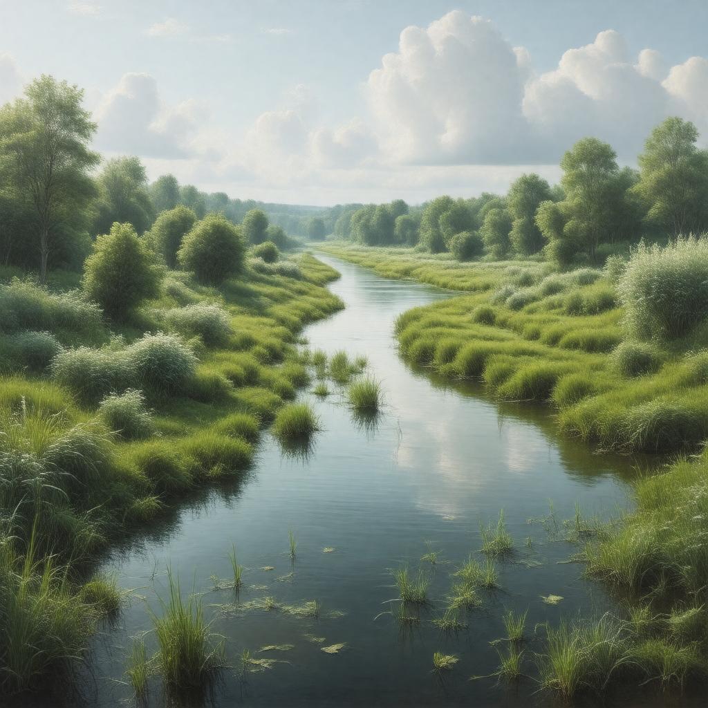
Statements (52)
Predicate | Object |
---|---|
gptkbp:instanceOf |
river
|
gptkbp:communityEngagement |
educational programs
environmental awareness campaigns wildlife surveys local clean-up events |
gptkbp:conservationEfforts |
ongoing restoration projects
|
gptkbp:crosses |
gptkb:London_Borough_of_Havering
gptkb:London_Borough_of_Barking_and_Dagenham |
gptkbp:cultural_heritage |
Ingrebourne_River
|
gptkbp:culturalSignificance |
local folklore
|
gptkbp:drainageBasin |
Ingrebourne Basin
|
gptkbp:environmentalConcerns |
pollution
|
gptkbp:environmentalImpact |
affected by climate change
biodiversity hotspot habitat for fish species habitat for amphibians habitat for invertebrates habitat for bird species |
gptkbp:flowsInto |
gptkb:River_Thames
|
gptkbp:futurePlans |
improved flood management
enhanced recreational facilities increased biodiversity initiatives further restoration projects |
gptkbp:geographicalFeature |
gptkb:valley
|
gptkbp:hasPersonnel |
gptkb:River_Rom
River_Beam |
gptkbp:historicalEvent |
flooding incidents
|
gptkbp:historicalPeriod |
water supply
transportation route industrial use |
gptkbp:historicalSignificance |
used for drainage purposes
|
https://www.w3.org/2000/01/rdf-schema#label |
River Ingrebourne
|
gptkbp:landUse |
agriculture
urban development recreation areas |
gptkbp:length |
20 miles
|
gptkbp:lighting |
floodplain areas
|
gptkbp:localEconomy |
supports agriculture
supports tourism supports fishing industry |
gptkbp:locatedIn |
gptkb:England
|
gptkbp:mouth |
Rainham Marshes
|
gptkbp:partOf |
Thames_River_Basin
|
gptkbp:recreation |
fishing
bird watching walking paths |
gptkbp:source |
Havering-atte-Bower
|
gptkbp:surroundingArea |
gptkb:Barking_and_Dagenham
Havering |
gptkbp:waterManagement |
managed by local authorities
|
gptkbp:waterQuality |
monitored_by_Environment_Agency
|
gptkbp:wildlife |
supports various species
|