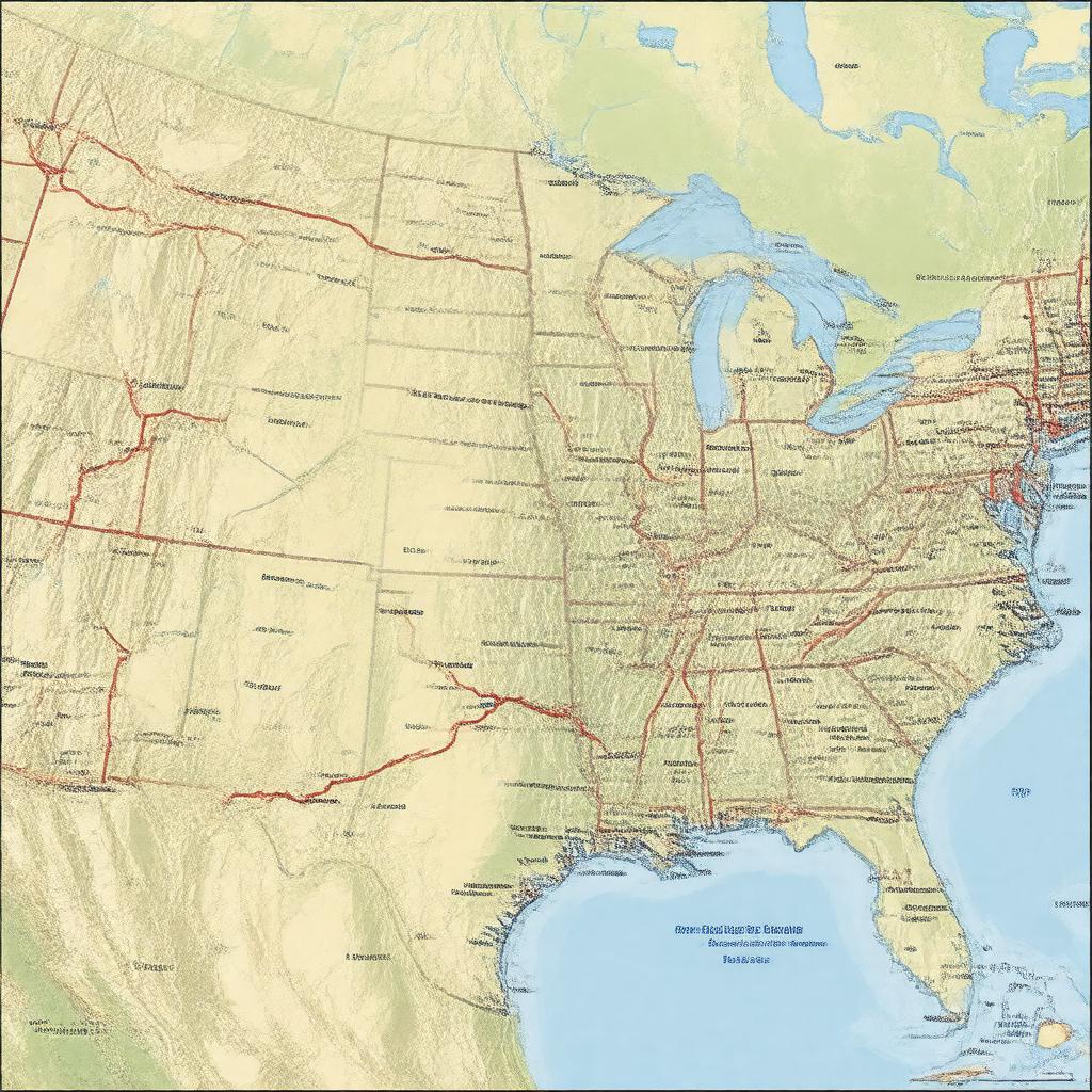
gptkbp:instanceOf
|
gptkb:state_highway
|
gptkbp:abbreviation
|
gptkb:US_54
|
gptkbp:country
|
gptkb:United_States
|
gptkbp:crosses
|
gptkb:Mississippi_River
|
gptkbp:directionA
|
East
West
|
gptkbp:established
|
1926
|
gptkbp:hasBridge
|
gptkb:Champ_Clark_Bridge
|
https://www.w3.org/2000/01/rdf-schema#label
|
U.S. Route 54
|
gptkbp:intersects
|
gptkb:Interstate_70
gptkb:U.S._Route_24
gptkb:U.S._Route_36
gptkb:U.S._Route_40
gptkb:U.S._Route_60
gptkb:U.S._Route_61
gptkb:U.S._Route_67
gptkb:Interstate_40
gptkb:U.S._Route_287
gptkb:U.S._Route_77
gptkb:Interstate_35
gptkb:Interstate_44
gptkb:U.S._Route_50
gptkb:U.S._Route_64
gptkb:U.S._Route_69
gptkb:U.S._Route_83
|
gptkbp:length
|
about 1,197 miles
|
gptkbp:maintainedBy
|
state departments of transportation
|
gptkbp:mapType
|
US 54 map.svg
|
gptkbp:notableCity
|
gptkb:Fulton,_Missouri
gptkb:Dalhart,_Texas
gptkb:El_Paso,_Texas
gptkb:Guymon,_Oklahoma
gptkb:Jefferson_City,_Missouri
gptkb:Liberal,_Kansas
gptkb:Mexico,_Missouri
gptkb:Pratt,_Kansas
gptkb:Tucumcari,_New_Mexico
gptkb:Wichita,_Kansas
|
gptkbp:partOf
|
gptkb:United_States_Numbered_Highway_System
|
gptkbp:passesThrough
|
gptkb:Illinois
gptkb:Kansas
gptkb:Missouri
gptkb:New_Mexico
gptkb:Oklahoma
gptkb:Texas
|
gptkbp:routeNumber
|
54
|
gptkbp:terminus
|
gptkb:El_Paso,_Texas
gptkb:Griggsville,_Illinois
|
gptkbp:bfsParent
|
gptkb:Jefferson_City,_Missouri,_USA
gptkb:U.S._Route_63
|
gptkbp:bfsLayer
|
4
|