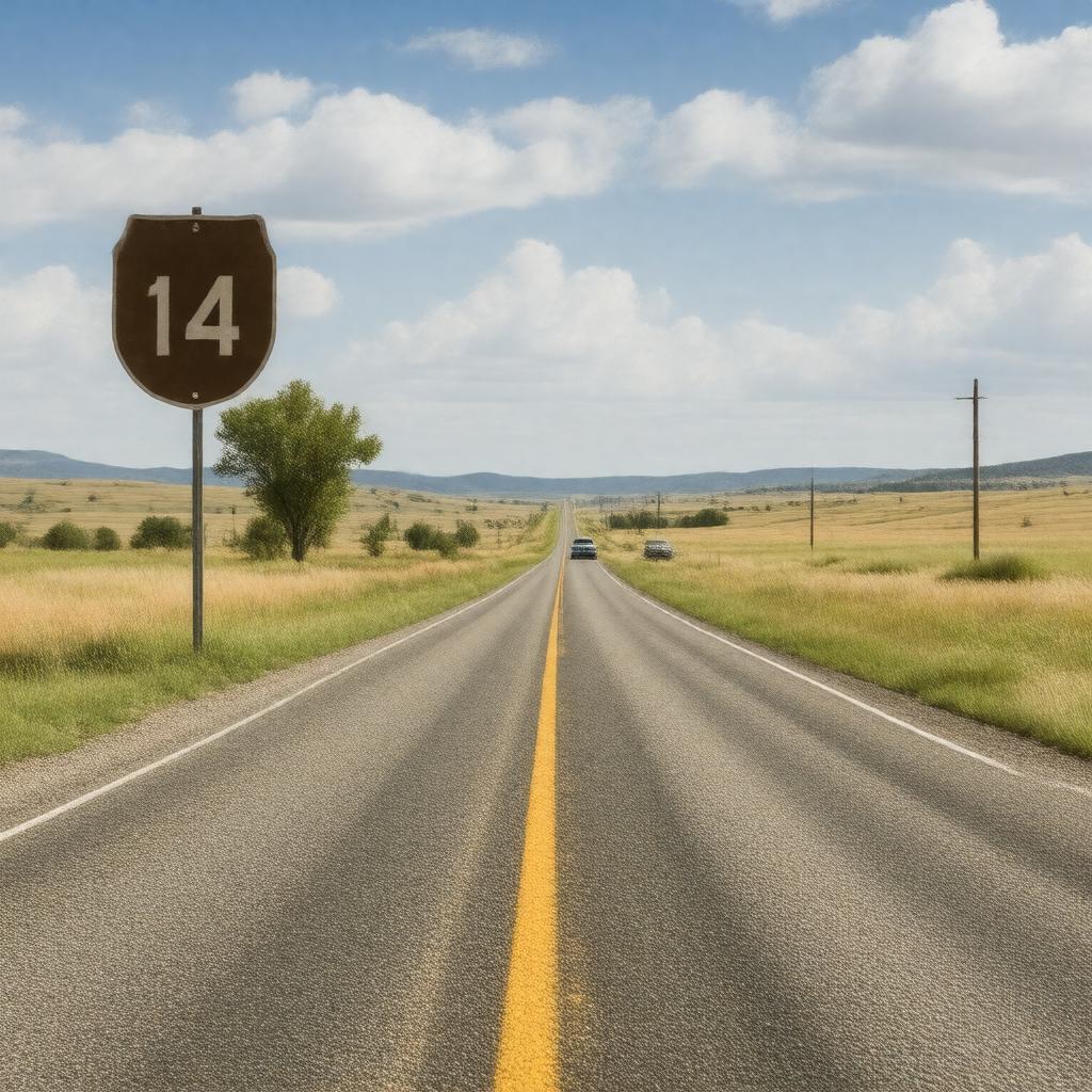
gptkbp:instanceOf
|
Highway
|
gptkbp:endsAt
|
gptkb:Lake_Michigan
|
gptkbp:hasHistoricalSignificance
|
Part_of_the_original_U.S._Route_system
|
gptkbp:hasIntersectionsWith
|
gptkb:U.S._Route_385
gptkb:U.S._Route_212
gptkb:U.S._Route_87
gptkb:U.S._Route_81
|
gptkbp:hasLength
|
approximately 1,200 miles
|
gptkbp:hasMajorCity
|
gptkb:Rapid_City
gptkb:La_Crosse
gptkb:Cheyenne
Elgin
Waukesha
|
https://www.w3.org/2000/01/rdf-schema#label
|
U.S. Route 14
|
gptkbp:isConnectedTo
|
gptkb:U.S._Route_70
gptkb:U.S._Route_40
gptkb:U.S._Route_34
gptkb:U.S._Route_30
gptkb:U.S._Route_50
gptkb:U.S._Route_60
gptkb:U.S._Route_80
gptkb:U.S._Route_20
gptkb:U.S._Route_6
gptkb:U.S._Route_90
gptkb:U.S._Route_200
gptkb:U.S._Route_10
gptkb:U.S._Route_500
gptkb:U.S._Route_400
gptkb:U.S._Route_16
gptkb:U.S._Route_300
gptkb:U.S._Route_100
Interstate 90
Interstate 25
State_Route_34_in_Wyoming
State_Route_50_in_South_Dakota
|
gptkbp:isDesignedFor
|
National_Scenic_Byway
Scenic_Byway_in_South_Dakota
|
gptkbp:isKnownFor
|
Cultural events along the route
Scenic_views_in_the_Black_Hills
|
gptkbp:isMaintainedBy
|
gptkb:Federal_Highway_Administration
State_Departments_of_Transportation
|
gptkbp:isNotableFor
|
Historic landmarks along the route
|
gptkbp:isPartOf
|
gptkb:National_Highway_System
gptkb:Transcontinental_Highway_System
gptkb:American_Association_of_State_Highway_and_Transportation_Officials
gptkb:U.S._Route_14_Corridor
|
gptkbp:isPopularFor
|
Recreational driving
|
gptkbp:isSubjectTo
|
Seasonal weather conditions
|
gptkbp:isUsedBy
|
Tourists
|
gptkbp:isUsedFor
|
Commercial transport
|
gptkbp:runsThrough
|
gptkb:Illinois
gptkb:Minnesota
gptkb:South_Dakota
gptkb:Wyoming
|
gptkbp:startsAt
|
gptkb:U.S._Route_20
|
gptkbp:wasEstablishedIn
|
1926
|