Prompt
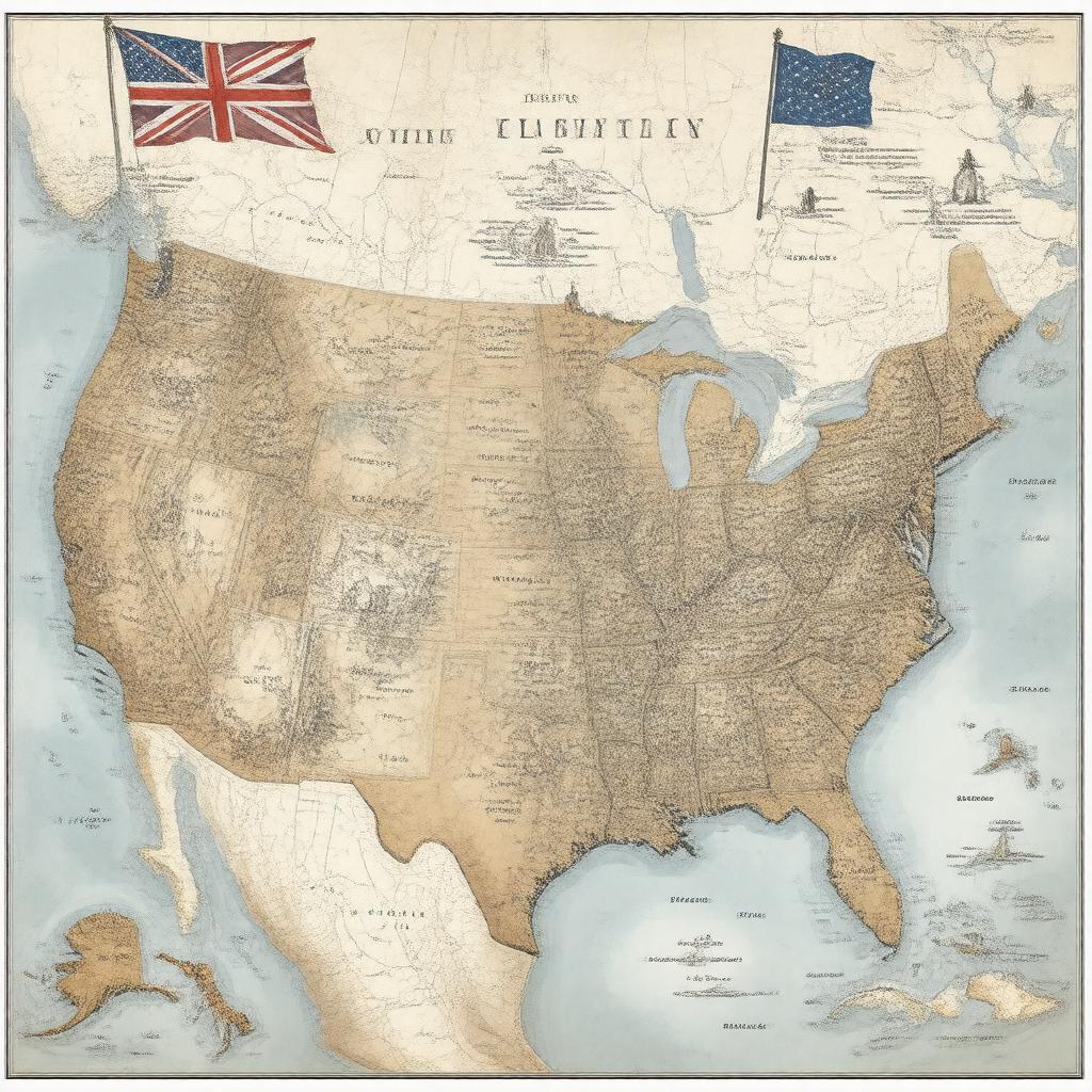
"Create an image of a map of the Thirteen Colonies in 1775, with a population of approximately 2.5 million people, highlighting the 13 colonies that declared independence from Great Britain, including Province of New Hampshire, Province of Massachusetts Bay, Colony of Rhode Island and Providence Plantations, Connecticut Colony, Province of New York, Province of New Jersey, Province of Pennsylvania, Delaware Colony, Province of Maryland, Colony and Dominion of Virginia, Province of North Carolina, Province of South Carolina, and Province of Georgia, with a subtle background of the Grand Union Flag and a few notable landmarks such as the Boston Tea Party location, in a realistic and historically accurate style."

