Prompt
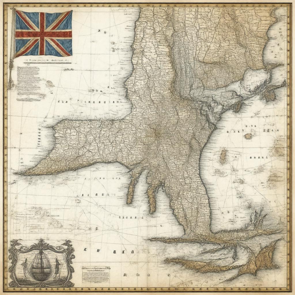
"Generate an image of a 18th-century map of the Province of New York, showing its borders with neighboring colonies, major cities such as New York City, Albany, and Kingston, and notable geographical features. The map should be in a style reminiscent of colonial-era cartography, with clear labels and markings. In the background, a subtle image of the Flag of Great Britain (1707–1800) can be seen, symbolizing the province's status as a British colony. The overall color palette should be muted, with earth tones and blues dominating the scene."

