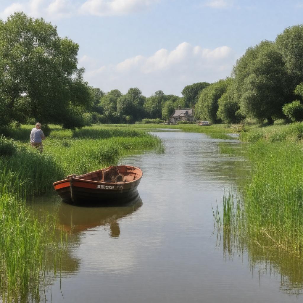
gptkbp:instanceOf
|
network of rivers and lakes
|
gptkbp:area
|
303 square kilometres
|
gptkbp:country
|
gptkb:England
gptkb:United_Kingdom
|
gptkbp:designation
|
gptkb:nature_reserve
National Park equivalent
|
gptkbp:ecosystem
|
gptkb:wetlands
|
gptkbp:established
|
1989 (Broads Authority)
|
gptkbp:formedBy
|
medieval peat excavations
|
gptkbp:governingBody
|
gptkb:The_Broads_Authority
|
https://www.w3.org/2000/01/rdf-schema#label
|
The Broads
|
gptkbp:locatedIn
|
gptkb:Norfolk
gptkb:Suffolk
|
gptkbp:mainRiver
|
gptkb:River_Waveney
gptkb:River_Bure
gptkb:River_Wensum
gptkb:River_Yare
gptkb:River_Ant
gptkb:River_Chet
gptkb:River_Thurne
|
gptkbp:notableBuilding
|
gptkb:Barton_Broad
gptkb:Hickling_Broad
gptkb:Oulton_Broad
gptkb:Ranworth_Broad
gptkb:Salhouse_Broad
gptkb:Ormesby_Broad
gptkb:Filby_Broad
gptkb:Malthouse_Broad
gptkb:Rockland_Broad
gptkb:Rollesby_Broad
gptkb:South_Walsham_Broad
gptkb:Surlingham_Broad
|
gptkbp:notableTown
|
gptkb:Beccles
gptkb:Great_Yarmouth
gptkb:Wroxham
gptkb:Norwich
|
gptkbp:numberOfBroads
|
over 60
|
gptkbp:numberOfNavigableRivers
|
7
|
gptkbp:protectedArea
|
gptkb:The_Broads_Authority
|
gptkbp:touristAttraction
|
birdwatching
boating
cycling
fishing
walking
|
gptkbp:UNESCOStatus
|
gptkb:list
|
gptkbp:wildlife
|
gptkb:lake
water vole
bittern
marsh harrier
swallowtail butterfly
|
gptkbp:bfsParent
|
gptkb:Norfolk
gptkb:Norfolk_County
gptkb:Strumpshaw_Fen
gptkb:Norfolk,_England
|
gptkbp:bfsLayer
|
5
|