Prompt
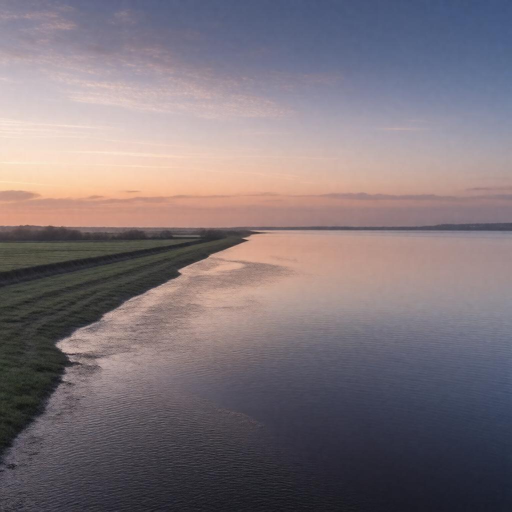
"Generate an image of a serene estuary landscape at sunset, with Southampton Water stretching into the distance, approximately 10.5 kilometers long and 2 kilometers wide, surrounded by the Hampshire countryside in England, United Kingdom. The estuary should feature the mouth of the water where it meets the Solent, with the River Test, River Itchen, and River Hamble flowing into it. Include notable features such as the Port of Southampton, Fawley Refinery, Hythe Pier, and Marchwood Military Port along its shores. The nearest cities of Southampton, Hythe, Fawley, and Totton should be visible in the background. The image should capture the water's usage for shipping, recreation, and ferry transport, including the Hythe Ferry service. Incorporate elements reflecting its protected status as a nature reserve, Site of Special Scientific Interest, and part of the Solent and Southampton Water Ramsar site. The style should be realistic and suitable for a geographical representation, highlighting the estuary's significance and natural beauty."

