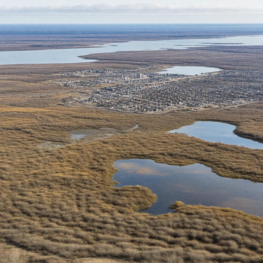
gptkbp:instanceOf
|
gptkb:island
|
gptkbp:area
|
41,214 km²
|
gptkbp:climate
|
Arctic tundra
|
gptkbp:discoveredByEuropeans
|
1613
|
gptkbp:ethnicGroup
|
Indigenous people
|
gptkbp:featureType
|
gptkb:wetlands
numerous lakes
low-lying terrain
|
gptkbp:habitat
|
gptkb:Boas_River
gptkb:East_Bay_Migratory_Bird_Sanctuary
gptkb:Harry_Gibbons_Migratory_Bird_Sanctuary
gptkb:Southampton_Island_Coast
East Bay/Native Bay
|
gptkbp:hasAirport
|
gptkb:Coral_Harbour_Airport
|
gptkbp:hasCoastline
|
3,131 km
|
gptkbp:hasCurrentInhabitants
|
Indigenous people
|
gptkbp:hasInuitName
|
gptkb:Salliq
|
gptkbp:hasNotableBay
|
gptkb:Bay_of_Gods_Mercy
gptkb:Native_Bay
gptkb:East_Bay
|
gptkbp:hasNotableCape
|
gptkb:Cape_Kendall
gptkb:Cape_Low
gptkb:Cape_Pembroke
gptkb:Cape_Southampton
|
gptkbp:hasNotableLake
|
gptkb:East_Lake
gptkb:Lake_Harbour
gptkb:Boas_Lake
gptkb:Southampton_Lake
|
gptkbp:hasWildlife
|
gptkb:bird
gptkb:deer
snowy owl
|
gptkbp:historicalEvent
|
Sadlermiut extinction
|
gptkbp:historicallyInhabitedBy
|
gptkb:Sadlermiut
|
https://www.w3.org/2000/01/rdf-schema#label
|
Southampton Island
|
gptkbp:largestCity
|
gptkb:Coral_Harbour
|
gptkbp:locatedIn
|
gptkb:Canada
gptkb:Nunavut
|
gptkbp:namedAfter
|
gptkb:Henry_Wriothesley,_3rd_Earl_of_Southampton
|
gptkbp:notableBuilding
|
gptkb:Boas_River
gptkb:Kugyuktuk_River
gptkb:Salisbury_River
|
gptkbp:partOf
|
gptkb:Arctic_Archipelago
|
gptkbp:population
|
about 1,000
|
gptkbp:rankByArea
|
34th largest island
|
gptkbp:rankInCanadaByArea
|
9th largest island
|
gptkbp:timezone
|
gptkb:Eastern_Standard_Time
|
gptkbp:waterSource
|
gptkb:Foxe_Basin
gptkb:Hudson_Bay
gptkb:Frozen_Strait
gptkb:Roes_Welcome_Sound
|
gptkbp:bfsParent
|
gptkb:Coral_Harbour
gptkb:Foxe_Basin
|
gptkbp:bfsLayer
|
5
|