gptkbp:instance_of
|
gptkb:district
|
gptkbp:borders
|
gptkb:Luton
gptkb:Buckinghamshire
gptkb:Hertfordshire
gptkb:Central_Bedfordshire
|
gptkbp:climate
|
Temperate maritime climate
|
gptkbp:contains
|
gptkb:Luton
gptkb:Leighton_Buzzard
gptkb:Dunstable
|
gptkbp:demographics
|
Diverse population
Growing population
Young population
|
gptkbp:economic_sector
|
gptkb:Retail
gptkb:Education
Manufacturing
Health and Social Care
Transport and Logistics
|
gptkbp:education_institution
|
gptkb:University_of_Bedfordshire
Central Bedfordshire College
|
gptkbp:established
|
gptkb:1974
|
gptkbp:geography
|
Flat land in the north
Hilly terrain in the south
|
gptkbp:governed_by
|
South Bedfordshire District Council
|
gptkbp:habitat
|
Dunstable Downs Nature Reserve
Leighton Buzzard Nature Reserve
Whipsnade Estate
|
gptkbp:has_area
|
approximately 1,200 square kilometers
|
gptkbp:has_community
|
gptkb:Leighton_Buzzard_Town_Council
Dunstable Civic Centre
|
gptkbp:has_events
|
gptkb:Luton_International_Carnival
Dunstable Carnival
Leighton Buzzard Festival
|
gptkbp:has_population
|
approximately 250,000
|
gptkbp:has_public_transport
|
gptkb:Arriva_Shires_&_Essex
Stagecoach in Bedford
|
gptkbp:historical_site
|
gptkb:Dunstable_Priory
gptkb:Luton_Hoo
Leighton Buzzard Church
|
https://www.w3.org/2000/01/rdf-schema#label
|
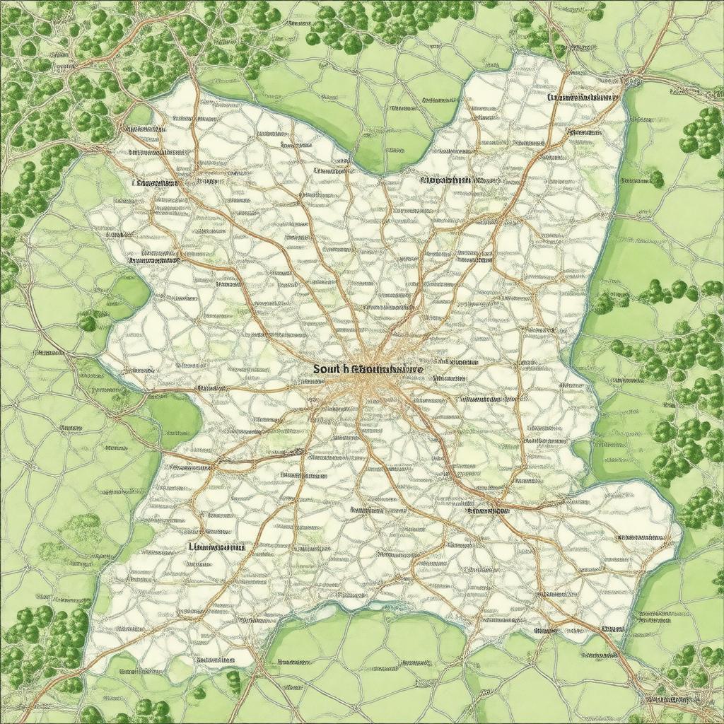
South Bedfordshire
|
gptkbp:local_government
|
gptkb:Central_Bedfordshire_Council
|
gptkbp:located_in
|
gptkb:England
|
gptkbp:major_highway
|
gptkb:M1_motorway
A5 road
|
gptkbp:part_of
|
gptkb:Bedfordshire
|
gptkbp:railway_line
|
gptkb:Dunstable_railway_station
gptkb:Leighton_Buzzard_railway_station
gptkb:Luton_Airport_Parkway_railway_station
|
gptkbp:sports_team
|
gptkb:Luton_Town_F._C.
gptkb:Leighton_Town_F._C.
Dunstable Town F. C.
|
gptkbp:tourist_attraction
|
gptkb:Dunstable_Downs
gptkb:Whipsnade_Zoo
Leighton Buzzard Railway
|
gptkbp:bfsParent
|
gptkb:Central_Bedfordshire
|
gptkbp:bfsLayer
|
6
|