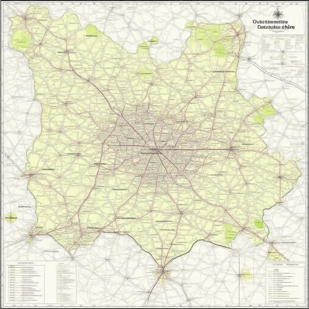
gptkbp:instance_of
|
gptkb:district
gptkb:local_government
|
gptkbp:contains
|
gptkb:Luton
gptkb:Leighton_Buzzard
gptkb:Dunstable
|
gptkbp:demographics
|
Aging Population
Diverse Population
Growing Population
Young Population
|
gptkbp:district
|
gptkb:South_Bedfordshire
gptkb:North_Bedfordshire
Mid Bedfordshire
|
gptkbp:economy
|
gptkb:Retail
gptkb:tourism
gptkb:Agriculture
Manufacturing
|
gptkbp:established
|
gptkb:2009
|
gptkbp:governed_by
|
gptkb:Central_Bedfordshire_Council
|
gptkbp:government
|
gptkb:City_Council
Councillors
Unitary Authority
Elected Mayor
|
gptkbp:has_area
|
1,189 km²
1,189 square kilometers
|
gptkbp:has_culture
|
gptkb:Bedfordshire_Folk_Music
Art Galleries
Theatre Companies
Local Festivals
|
gptkbp:has_education
|
gptkb:University_of_Bedfordshire
|
gptkbp:has_natural_feature
|
gptkb:The_Chiltern_Hills
gptkb:The_River_Ouzel
gptkb:The_Great_Ouse
gptkb:The_River_Ivel
|
gptkbp:has_population
|
280000
|
gptkbp:historical_site
|
gptkb:Woburn_Abbey
gptkb:St_Mary's_Church,_Dunstable
gptkb:The_Old_Palace,_Luton
gptkb:The_Priory_Church_of_St_Peter,_Dunstable
|
https://www.w3.org/2000/01/rdf-schema#label
|
Central Bedfordshire
|
gptkbp:located_in
|
gptkb:England
|
gptkbp:part_of
|
gptkb:Bedfordshire
East of England
|
gptkbp:population
|
280,000
|
gptkbp:sports_team
|
gptkb:Luton_Town_F._C.
gptkb:Bedford_Blues
gptkb:Leighton_Town_F._C.
Dunstable Town F. C.
|
gptkbp:tourist_attraction
|
gptkb:Dunstable_Downs
gptkb:Woburn_Safari_Park
gptkb:The_Forest_of_Marston_Vale
gptkb:St._Albans_Cathedral
|
gptkbp:transportation
|
gptkb:M1_motorway
gptkb:East_Midlands_Railway
A5 road
|
gptkbp:bfsParent
|
gptkb:Borough_of_Bedford
gptkb:Dunstable
gptkb:Chicksands
|
gptkbp:bfsLayer
|
5
|