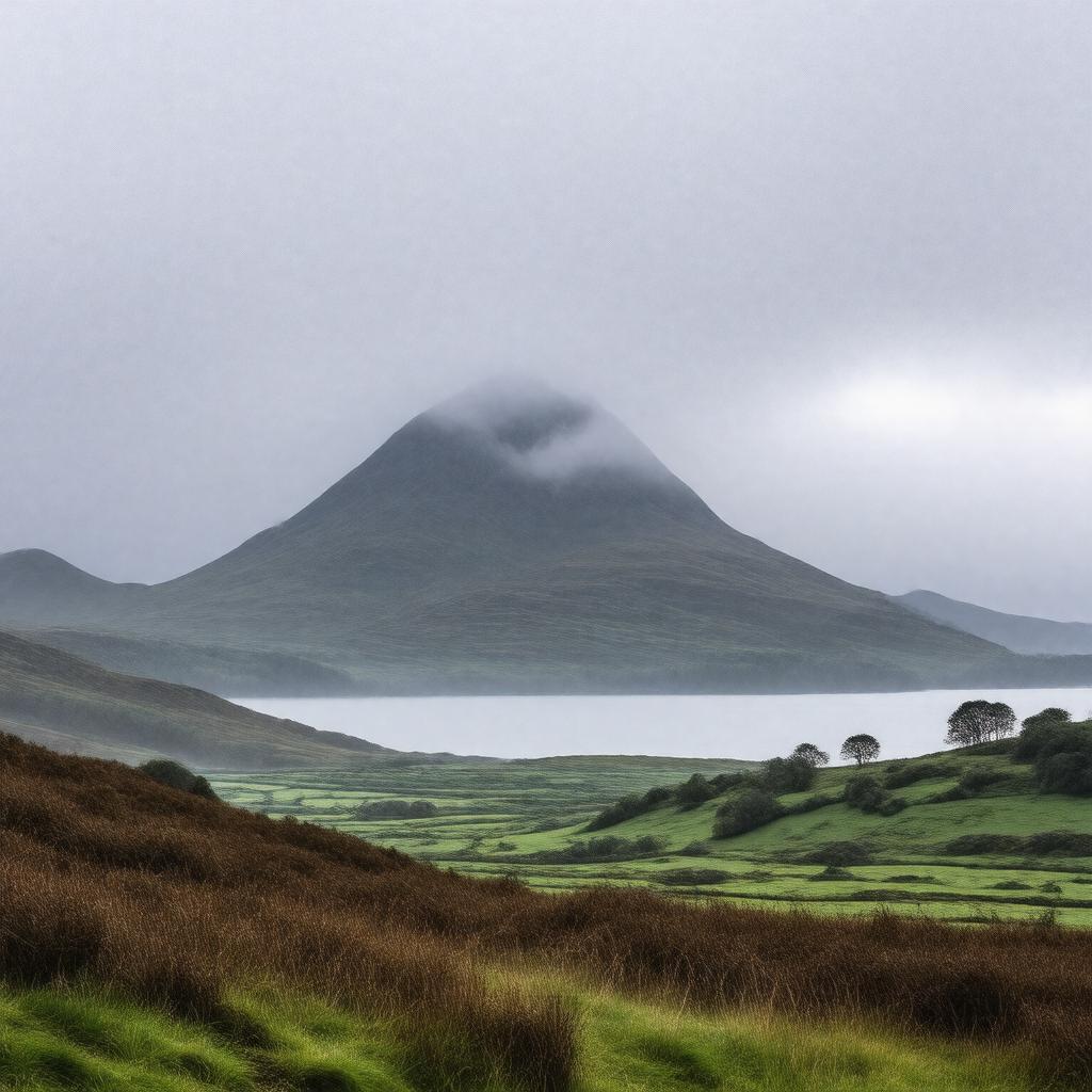
Statements (115)
Predicate | Object |
---|---|
gptkbp:instance_of |
gptkb:mountain
|
gptkbp:accessibility |
Public paths
|
gptkbp:associated_with |
Outdoor activities
|
gptkbp:attracts |
hikers
|
gptkbp:best_time_to_visit |
May to September
|
gptkbp:climate |
Oceanic climate
|
gptkbp:climbing_ability |
Various trails
|
gptkbp:conservation_status |
gptkb:protected_area
|
gptkbp:coordinates |
54.1975° N, 5.8950° W
|
gptkbp:cultural_significance |
Local folklore
|
gptkbp:elevation |
850 meters
849 meters |
gptkbp:environmental_concerns |
Erosion
|
gptkbp:fauna |
Red grouse
|
gptkbp:features |
summit cairn
|
gptkbp:first_ascent |
gptkb:19th_century
|
gptkbp:flora |
gptkb:Heather
|
gptkbp:geological_formation |
gptkb:granite
|
gptkbp:has |
varied wildlife
|
gptkbp:historical_event |
Hiking expeditions
|
gptkbp:historical_significance |
gptkb:Celtic_mythology
|
https://www.w3.org/2000/01/rdf-schema#label |
Slieve Donard
|
gptkbp:is |
popular for photography
a site for local festivals a scenic viewpoint a site for nature walks a popular spot for picnics a location for community events a place for birdwatching a site for educational field trips a popular destination for tourists a site for geological studies a site for winter sports a site for ecological studies a site for environmental conservation efforts a site for historical research a site for local history tours a location for family outings a geological feature a site for landscape photography a location for photography exhibitions a location for team-building activities a site for outdoor education programs a location for environmental awareness campaigns a location for environmental education a site for local wildlife observation a location for adventure sports a location for guided tours a site for photography workshops a prominent landmark a location for trail running a destination for outdoor activities a site for community engagement activities a site for nature conservation projects a location for cultural heritage events a feature in local tourism brochures a site for local storytelling events a feature in local maps a feature in local folklore a site for local community projects a site for outdoor fitness classes a location for mindfulness retreats a location for nature retreats a cultural symbol of County Down a feature in hiking blogs a feature in hiking guides a feature in nature documentaries a feature in outdoor adventure magazines a feature in travel documentaries a location for health and wellness retreats a part of the Irish Sea landscape a part of the Irish cultural landscape a part of the Mourne Heritage Trust a part of the Mourne Mountains National Park a part of the Mourne Mountains cultural heritage. a part of the Mourne Mountains ecosystem a part of the Mourne Mountains hiking trails a part of the Ulster Way a site for climbing events a site for local art projects a site for local conservation initiatives a subject of paintings and literature highest peak in Northern Ireland part of Mourne Wall a part of the Mourne Mountains Area of Outstanding Natural Beauty |
gptkbp:is_accessible_by |
Walking trails
|
gptkbp:is_popular_for |
gptkb:photography
|
gptkbp:landmark |
Highest peak in Northern Ireland
|
gptkbp:local_legends |
Fairy tales
|
gptkbp:located_in |
gptkb:Northern_Ireland
|
gptkbp:named_after |
gptkb:Saint_Donard
|
gptkbp:nearest_city |
gptkb:Newcastle
|
gptkbp:overlooks |
gptkb:Irish_Sea
gptkb:Dundrum_Bay |
gptkbp:part_of |
gptkb:Mourne_Area_of_Outstanding_Natural_Beauty
gptkb:Mourne_Mountains |
gptkbp:photogenic_seasons |
gptkb:Autumn
gptkb:Summer gptkb:Winter gptkb:spring |
gptkbp:popular_activities |
Climbing
|
gptkbp:prominence |
600 meters
|
gptkbp:scenic_views |
Coastal views
|
gptkbp:surrounding_area |
gptkb:Mourne_Forest_Park
|
gptkbp:surrounding_peaks |
gptkb:Slieve_Bearnagh
gptkb:Slieve_Commedagh gptkb:Slieve_Meelmore gptkb:Slieve_Muck |
gptkbp:tourist_attraction |
gptkb:Yes
|
gptkbp:view |
gptkb:Tollymore_Forest_Park
|
gptkbp:viewpoint |
gptkb:Mourne_Mountains
|
gptkbp:weather_conditions |
Variable
Snow in winter |
gptkbp:bfsParent |
gptkb:Northern_Ireland
|
gptkbp:bfsLayer |
4
|