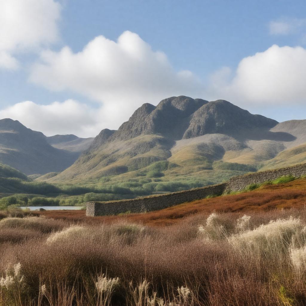
gptkbp:instance_of
|
gptkb:mountain_range
|
gptkbp:accessibility
|
multiple trails
|
gptkbp:area
|
approximately 400 square kilometers
|
gptkbp:average_rainfall
|
approximately 2000 mm
|
gptkbp:average_temperature
|
varies seasonally
|
gptkbp:climate
|
oceanic climate
|
gptkbp:conservation
|
designated as a Special Area of Conservation
designated as a Special Protection Area
|
gptkbp:cultural_significance
|
inspiration for literature
inspiration for art
|
gptkbp:elevation
|
850 meters
|
gptkbp:fauna
|
gptkb:deer
red grouse
wild goats
|
gptkbp:flora
|
heather
|
gptkbp:geological_features
|
gptkb:granite
|
gptkbp:highest_point
|
gptkb:Slieve_Donard
|
gptkbp:historical_site
|
gptkb:Mourne_Wall
|
https://www.w3.org/2000/01/rdf-schema#label
|
Mourne Mountains
|
gptkbp:local_legends
|
associated with the legend of Finn Mc Cool
associated with the legend of the Giant's Causeway
|
gptkbp:location
|
County Down, Northern Ireland
|
gptkbp:major_rivers
|
gptkb:Lough_Shannagh
Lough Derryclare
Lough Mourne
|
gptkbp:notable_event
|
gptkb:Mourne_International_Walking_Festival
gptkb:Mourne_Mountain_Marathon
Mourne Mountain Rescue Team activities
Mourne Way Walk
|
gptkbp:part_of
|
gptkb:Mourne_and_Slieve_Croob_Area_of_Outstanding_Natural_Beauty
|
gptkbp:popular_activities
|
gptkb:mountain_biking
hiking
|
gptkbp:recreation
|
picnic areas
camping sites
visitor centers
|
gptkbp:surrounding_area
|
gptkb:Newcastle,_County_Down
gptkb:Kilbroney_Park
gptkb:Castlewellan_Forest_Park
gptkb:Ben_Crom_Reservoir
gptkb:Tollymore_Forest_Park
gptkb:Silent_Valley_Reservoir
Annalong
Rostrevor
|
gptkbp:tourist_attraction
|
gptkb:Slieve_Donard_Hotel
gptkb:Mourne_Heritage_Trust
|
gptkbp:bfsParent
|
gptkb:Slieve_Donard
gptkb:Tollymore_Forest_Park
gptkb:Kilkeel
|
gptkbp:bfsLayer
|
5
|