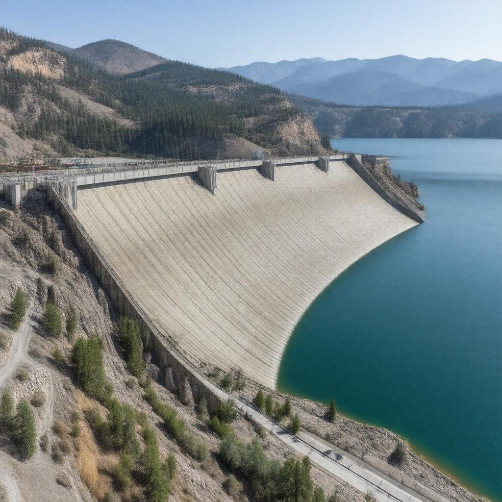
gptkbp:instanceOf
|
gptkb:dam
|
gptkbp:architect
|
gptkb:John_L._Savage
|
gptkbp:capacity
|
676 MW
|
gptkbp:constructionStartYear
|
1938
|
gptkbp:country
|
gptkb:United_States
|
gptkbp:crosses
|
Sacramento River
|
gptkbp:elevationAtCrest
|
330 m
|
gptkbp:height
|
183 m
|
https://www.w3.org/2000/01/rdf-schema#label
|
Shasta Dam
|
gptkbp:length
|
1,050 m
|
gptkbp:listedOn
|
gptkb:National_Register_of_Historic_Places
|
gptkbp:location
|
gptkb:Shasta_County,_California
|
gptkbp:mapType
|
California#USA
|
gptkbp:nearestCity
|
gptkb:Redding,_California
|
gptkbp:notableEvent
|
World War II construction
|
gptkbp:NRHPReferenceNumber
|
85002700
|
gptkbp:opened
|
1945
|
gptkbp:operator
|
gptkb:United_States_Bureau_of_Reclamation
|
gptkbp:owner
|
gptkb:United_States_Bureau_of_Reclamation
|
gptkbp:partOf
|
gptkb:Central_Valley_Project
|
gptkbp:purpose
|
flood control
hydroelectric power
irrigation
water storage
|
gptkbp:reservoirCapacity
|
4,552,000 acre-feet
|
gptkbp:reservoirName
|
gptkb:Shasta_Lake
|
gptkbp:type
|
gptkb:concrete_gravity_dam
|
gptkbp:bfsParent
|
gptkb:Lake_Shasta
gptkb:Six_Companies,_Inc.
|
gptkbp:bfsLayer
|
5
|