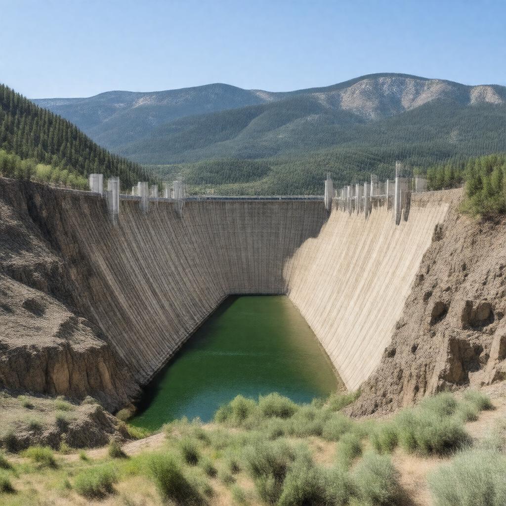
AI-created image
Statements (23)
| Predicate | Object |
|---|---|
| gptkbp:instanceOf |
gptkb:dam
|
| gptkbp:constructionStartYear |
1936
|
| gptkbp:crosses |
gptkb:North_Platte_River
|
| gptkbp:height |
295 feet
|
| gptkbp:length |
530 feet
|
| gptkbp:locatedIn |
gptkb:United_States
gptkb:Carbon_County,_Wyoming |
| gptkbp:nearestCity |
gptkb:Rawlins,_Wyoming
|
| gptkbp:opened |
1939
|
| gptkbp:operatedBy |
gptkb:U.S._Bureau_of_Reclamation
|
| gptkbp:ownedBy |
gptkb:U.S._Bureau_of_Reclamation
|
| gptkbp:partOf |
gptkb:Kendrick_Project
|
| gptkbp:powerplant |
yes
45 MW |
| gptkbp:purpose |
flood control
hydroelectric power irrigation |
| gptkbp:reservoirCapacity |
1,017,279 acre-feet
|
| gptkbp:reservoirName |
gptkb:Seminoe_Reservoir
|
| gptkbp:type |
concrete thick-arch dam
|
| gptkbp:bfsParent |
gptkb:North_Platte_River
|
| gptkbp:bfsLayer |
5
|
| http://www.w3.org/2000/01/rdf-schema#label |
Seminoe Dam
|