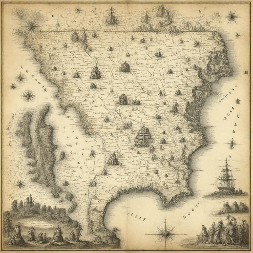
Prompt
"Generate an image of a 17th-century map of the Province of Carolina, showing its location in British America, with the capital Charles Town prominently marked, and including the surrounding territories that are now part of North Carolina, South Carolina, Georgia, Tennessee, Alabama, and Mississippi, in a style reminiscent of historical cartography of the time."

