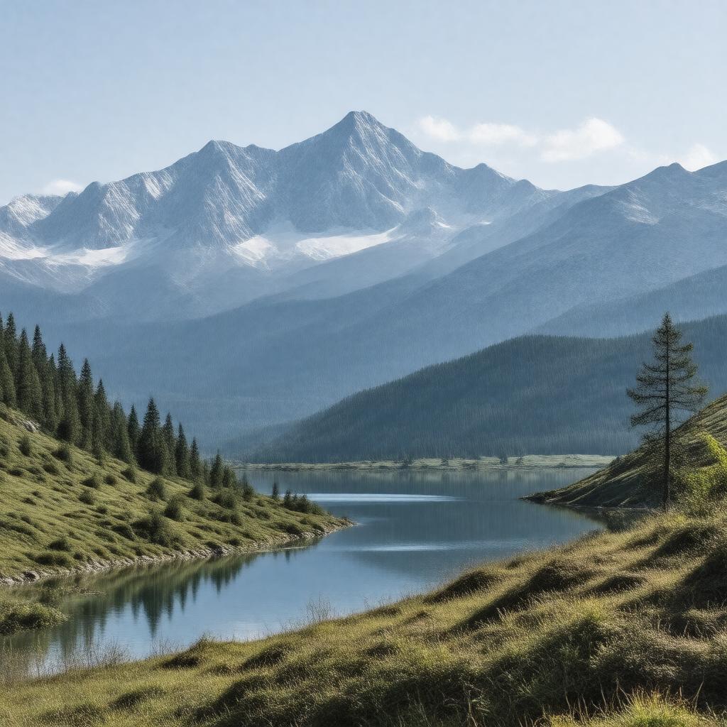
Pirin Mountains

GPTKB entity

Statements (57)
Predicate Object
gptkbp:instance_of gptkb:mountain_range
gptkbp:accessibility road access
gptkbp:area 403.56 square kilometers
gptkbp:biodiversity gptkb:endemic_species
high biodiversity
protected species
gptkbp:climate alpine climate
gptkbp:conservation_status gptkb:National_Park
gptkb:protected_area
gptkbp:cultural_significance gptkb:Slavic_mythology
gptkbp:elevation 1000 to 2914 meters
gptkbp:fauna gptkb:Bear
gptkbp:first_ascent early 20th century
gptkbp:flora coniferous forests
gptkbp:geographical_feature waterfalls
meadows
forests
caves
mountain lakes
gptkbp:geological_features gptkb:Bunderitsa_Glacier
gptkb:Kamenitsa_Glacier
gptkb:Vihren_Glacier
gptkbp:geological_formation gptkb:granite
gptkbp:highest_point gptkb:Vihren
gptkbp:historical_significance ancient trade routes
cultural heritage sites
https://www.w3.org/2000/01/rdf-schema#label Pirin Mountains
gptkbp:landforms glacial lakes
valleys
rocky peaks
gptkbp:local_economy gptkb:tourism
agriculture
forestry
gptkbp:located_in gptkb:Bulgaria
gptkbp:major_rivers gptkb:Struma_River
gptkb:Mesta_River
gptkbp:parks gptkb:Pirin_National_Park
gptkbp:part_of Rila-Rhodope mountain system
gptkbp:popular_activities hiking
skiing
gptkbp:surrounding_cities gptkb:Bansko
gptkb:Kovachevitsa
Razlog
Dobrinishte
Leshten
gptkbp:surrounding_peaks gptkb:Kamenitsa
gptkb:Vihren
Banski Suhodol
Polezhan
gptkbp:tourist_attraction gptkb:Bansko
Dobrinishte
gptkbp:unesco_world_heritage_site yes
gptkbp:weather_conditions mild summers
snow in winter
gptkbp:bfsParent gptkb:Pirinsko_National_Park
gptkb:Pirin_National_Park
gptkbp:bfsLayer 5