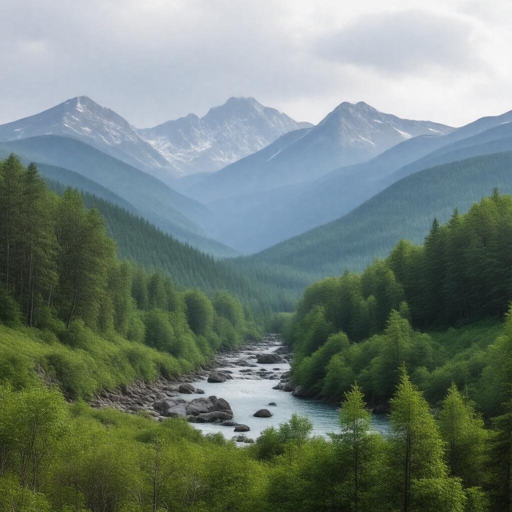
Prompt
"Generate an image of a serene and rugged landscape, featuring a vast wilderness area with dense forests, majestic mountains, and a meandering river. In the distance, include notable peaks such as Bondcliff, Mount Bond, and Zealand Mountain. The image should also capture the tranquil Franconia Brook and Thoreau Falls. Incorporate hiking trails like the Lincoln Woods Trail, Bondcliff Trail, and Twinway Trail, with a few scattered hikers in the distance. The scene should be set within the White Mountain National Forest in New Hampshire, USA, with a misty atmosphere and a sense of untouched natural beauty, reflecting the protected status of the Pemigewasset Wilderness, a nature reserve managed by the U.S. Forest Service."

