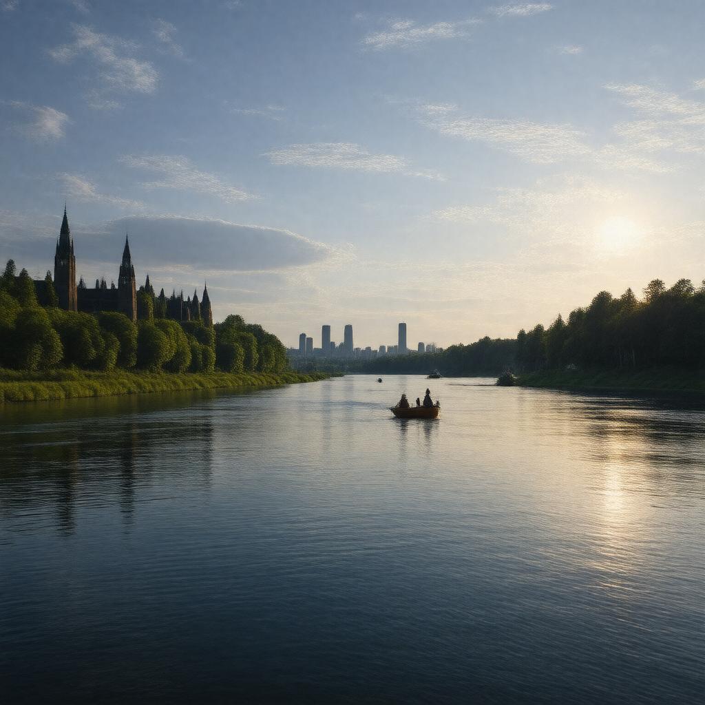
gptkbp:instance_of
|
gptkb:river
|
gptkbp:city
|
gptkb:Ottawa
gptkb:Gatineau
|
gptkbp:country
|
gptkb:Canada
|
gptkbp:crosses
|
gptkb:Ontario
gptkb:Quebec
|
gptkbp:cultural_significance
|
site of historical events
important for local festivals
|
gptkbp:dam
|
gptkb:Carillon_Dam
gptkb:Hull_Dam
gptkb:Ottawa_Dam
|
gptkbp:drainage_basin
|
146,300 square kilometers
|
gptkbp:environmental_concerns
|
gptkb:invasive_species
pollution issues
|
gptkbp:fish_species
|
gptkb:trout
bass
pike
|
gptkbp:flood_control
|
historical flooding events
|
gptkbp:flows_into
|
approximately 1,000 cubic meters per second
|
gptkbp:historical_significance
|
important for Indigenous peoples
used for trade and transportation
|
gptkbp:historical_use
|
used by explorers
used by fur traders
|
https://www.w3.org/2000/01/rdf-schema#label
|
Ottawa River
|
gptkbp:landmarks
|
gptkb:Rideau_Canal
gptkb:Canadian_Museum_of_History
gptkb:House_of_Commons
|
gptkbp:length
|
1,271 kilometers
|
gptkbp:local_economy
|
supports tourism
supports fishing industry
supports recreational activities
|
gptkbp:mouth
|
gptkb:Saint_Lawrence_River
|
gptkbp:navigation_system
|
navigable for most of its length
|
gptkbp:power_source
|
used for hydroelectric power generation
|
gptkbp:recreation
|
fishing
boating
kayaking
|
gptkbp:scenic_views
|
offers scenic views
|
gptkbp:seasonal_activities
|
high water in spring
ice cover in winter
low water in summer
|
gptkbp:source
|
gptkb:Lake_Capimitchigama
|
gptkbp:tributary_of
|
gptkb:Rideau_River
Gatineau River
|
gptkbp:water_quality
|
varies by location
|
gptkbp:wildlife
|
supports diverse ecosystems
|
gptkbp:wing_configuration
|
gptkb:Alexandra_Bridge
gptkb:Chaudière_Bridge
gptkb:Ottawa_River_Bridge
|
gptkbp:bfsParent
|
gptkb:Deep_River
gptkb:The_Rideau_Canal
gptkb:Ottawa,_Ontario,_Canada
gptkb:Saint_Lawrence_River
gptkb:Ontario
gptkb:Ottawa
gptkb:St._Lawrence_River
gptkb:Rideau_Canal
gptkb:Jacques_Cartier
gptkb:Samuel_de_Champlain
|
gptkbp:bfsLayer
|
4
|