Prompt
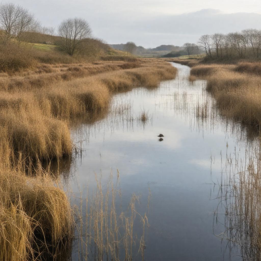
"Generate an image of a serene wetlands landscape in autumn, representing Otmoor in Oxfordshire, England. The scene features a mix of reedbeds, wet grasslands, and scrub, with the River Ray flowing through it. In the distance, a variety of birds are visible, including lapwings, redshanks, and curlews. A few bird hides are scattered throughout the area, and a short stretch of public footpath can be seen winding through the landscape. The atmosphere is peaceful, with a hint of mist, and the foliage is a warm golden brown. In the background, the rolling hills of Oxfordshire can be seen, with a few trees and bushes dotting the landscape. The style should be realistic and evocative of the natural beauty of Otmoor, a protected Site of Special Scientific Interest and RSPB nature reserve."

