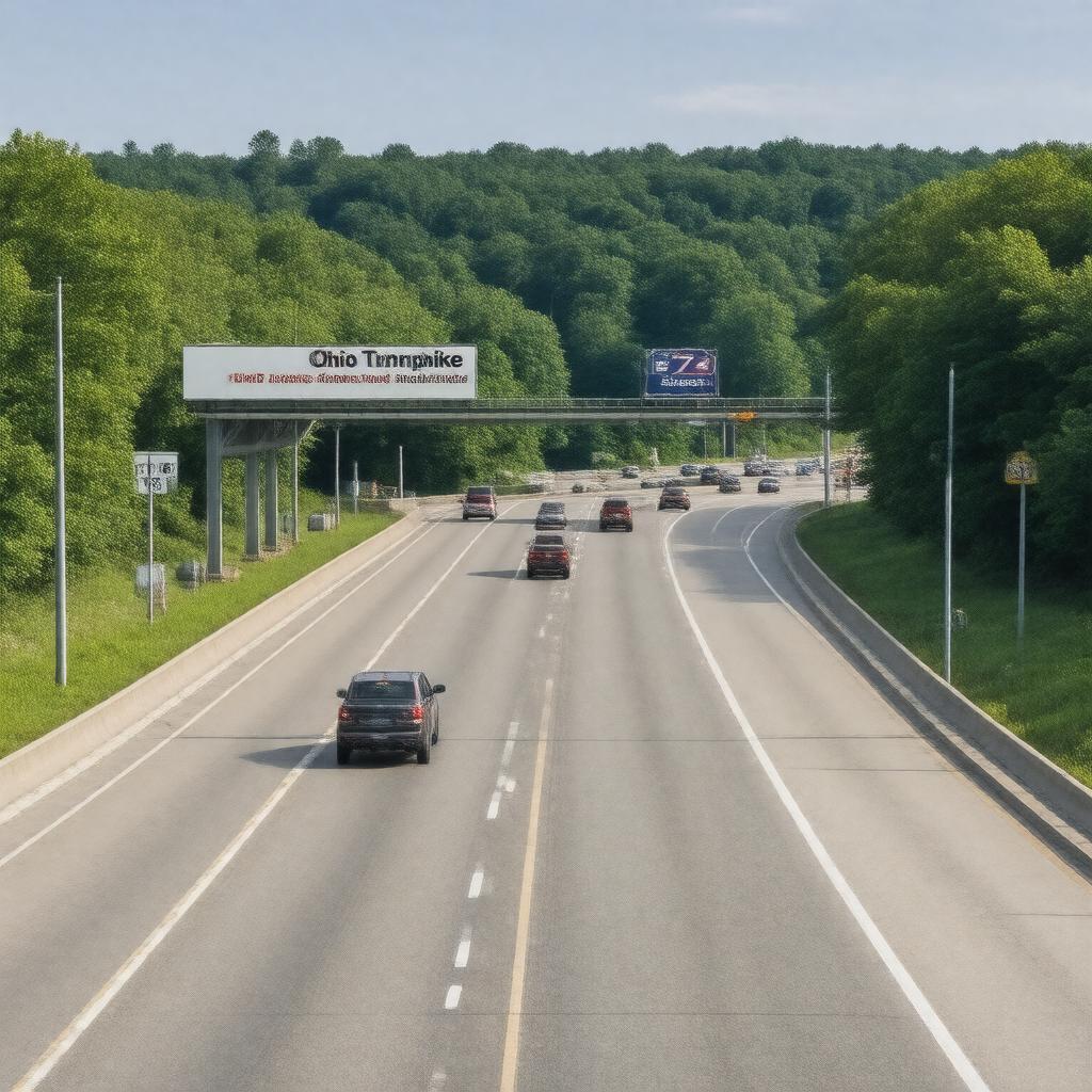
gptkbp:instance_of
|
gptkb:Highway
|
gptkbp:challenges
|
ongoing
|
gptkbp:connects
|
gptkb:I-80
gptkb:I-90
|
gptkbp:famous_landmark
|
yes
|
gptkbp:features
|
electronic toll collection
|
gptkbp:has_a_speed_enforcement_program
|
yes
|
gptkbp:has_a_website
|
yes
|
gptkbp:has_electronic_signs
|
yes
|
gptkbp:has_exit
|
multiple
|
gptkbp:has_expansion
|
yes
|
gptkbp:has_historical_significance
|
yes
|
gptkbp:has_history
|
construction challenges
|
gptkbp:has_partnerships_with
|
local businesses
|
gptkbp:has_rest_areas
|
yes
|
gptkbp:has_toll
|
yes
|
https://www.w3.org/2000/01/rdf-schema#label
|
Ohio Turnpike
|
gptkbp:is_a_key_component_of
|
Ohio's economy
|
gptkbp:is_a_route_for
|
gptkb:tourism
gptkb:emergency_services
freight transport
road trips
|
gptkbp:is_a_subject_of
|
transportation studies
|
gptkbp:is_a_vital_link_for
|
Midwestern states
|
gptkbp:is_connected_to
|
major cities
|
gptkbp:is_featured_in
|
gptkb:documentaries
travel guides
|
gptkbp:is_involved_in
|
environmental initiatives
|
gptkbp:is_known_for
|
its toll rates
its rest areas
its service plazas
|
gptkbp:is_maintained_by
|
Ohio Turnpike Commission
|
gptkbp:is_monitored_by
|
traffic cameras
|
gptkbp:is_part_of
|
gptkb:I-76
gptkb:U._S._Route_29
I-71
Ohio's history.
Ohio's transportation infrastructure
|
gptkbp:is_subject_to
|
weather conditions
|
gptkbp:is_used_by
|
millions of vehicles annually
|
gptkbp:is_used_for
|
commuting
|
gptkbp:length
|
241 miles
|
gptkbp:location
|
gptkb:Ohio
|
gptkbp:max_speed
|
70 mph
|
gptkbp:model
|
other toll roads
|
gptkbp:offers
|
for frequent users
|
gptkbp:opened
|
gptkb:1955
|
gptkbp:operator
|
Ohio Turnpike Commission
|
gptkbp:part_of
|
National Highway System
|
gptkbp:provides_access_to
|
gptkb:Cleveland
gptkb:Toledo
gptkb:Columbus
|
gptkbp:revenue
|
gptkb:Ohio
|
gptkbp:runs_through
|
multiple counties
|
gptkbp:scenic_views
|
yes
|
gptkbp:serves
|
passenger vehicles
commercial traffic
|
gptkbp:service_area
|
yes
|
gptkbp:bfsParent
|
gptkb:Ohio_Route_20
|
gptkbp:bfsLayer
|
5
|