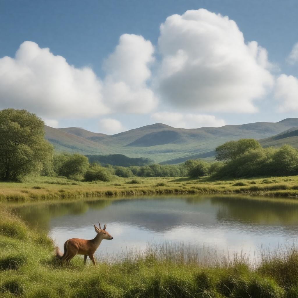
Northumberland National Park
GPTKB entity

AI-created image
Statements (34)
| Predicate | Object |
|---|---|
| gptkbp:instanceOf |
gptkb:nature_reserve
|
| gptkbp:adjacentTo |
Scottish Borders
|
| gptkbp:annualVisitors |
~1.5 million
|
| gptkbp:area |
1,049 km²
|
| gptkbp:contains |
gptkb:Hadrian's_Wall
Cheviot Hills Kielder Forest Otterburn Ranges Simonside Hills |
| gptkbp:country |
gptkb:England
gptkb:United_Kingdom |
| gptkbp:darkSkyPark |
Northumberland International Dark Sky Park
|
| gptkbp:established |
1956
|
| gptkbp:governingBody |
Northumberland National Park Authority
|
| gptkbp:highestPoint |
815 m
The Cheviot |
| gptkbp:location |
Northumberland
|
| gptkbp:nearestCity |
gptkb:Newcastle_upon_Tyne
|
| gptkbp:notableFeature |
gptkb:grass
Roman forts prehistoric monuments upland landscapes |
| gptkbp:postalCode |
NE46 1BS
|
| gptkbp:region |
North East England
|
| gptkbp:UNESCOWorldHeritageSite |
gptkb:Hadrian's_Wall
|
| gptkbp:website |
https://www.northumberlandnationalpark.org.uk/
|
| gptkbp:wildlife |
gptkb:lake
red squirrel adder curlew roe deer |
| gptkbp:bfsParent |
gptkb:England
|
| gptkbp:bfsLayer |
4
|
| http://www.w3.org/2000/01/rdf-schema#label |
Northumberland National Park
|