gptkbp:instanceOf
|
river
|
gptkbp:conservationEfforts
|
gptkb:Nashua_River_Watershed_Association
habitat restoration projects
water quality improvement initiatives
river clean-up efforts
|
gptkbp:crosses
|
gptkb:Lowell,_Massachusetts
gptkb:Dracut,_Massachusetts
gptkb:Nashua,_New_Hampshire
gptkb:Groton,_Massachusetts
gptkb:Pepperell,_Massachusetts
gptkb:Tyngsborough,_Massachusetts
gptkb:Dunstable,_Massachusetts
|
gptkbp:culturalSignificance
|
local history
recreation history
art and literature inspiration
|
gptkbp:dam
|
gptkb:Mason_Dam
gptkb:Nashua_River_Dam
Pepperell Dam
|
gptkbp:environmentalConcerns
|
pollution
|
gptkbp:fishSpecies
|
state regulations apply
license required
catch and release policies
seasonal restrictions
species limits
|
gptkbp:historicalSignificance
|
transportation route
industrial use
|
https://www.w3.org/2000/01/rdf-schema#label
|
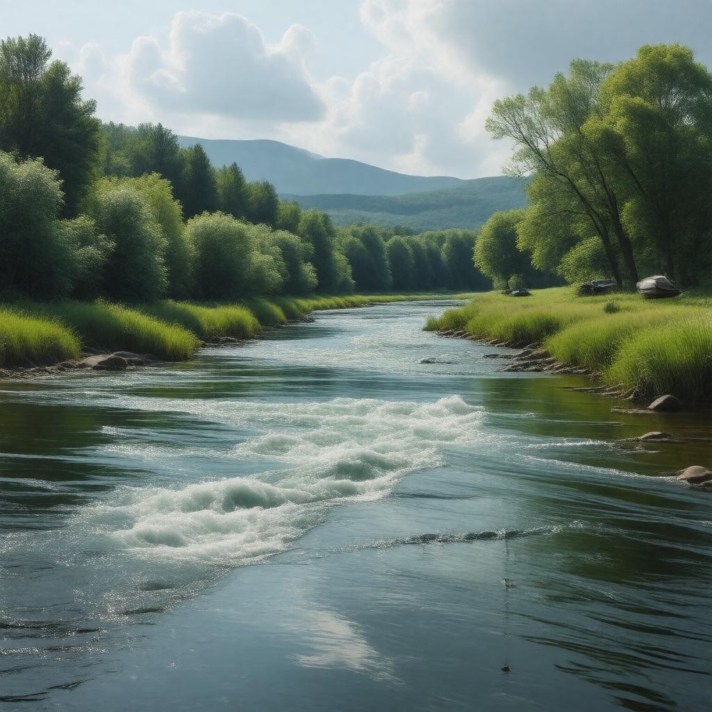
Nashua River
|
gptkbp:length
|
38 miles
|
gptkbp:lighting
|
historical events
|
gptkbp:location
|
gptkb:New_Hampshire
gptkb:Massachusetts
|
gptkbp:mouth
|
Merrimack_River_in_Nashua,_New_Hampshire
|
gptkbp:recreation
|
fishing
kayaking
canoeing
hiking trails nearby
|
gptkbp:source
|
gptkb:Mason,_New_Hampshire
|
gptkbp:surroundingArea
|
scenic viewpoints
nature reserves
wildlife refuges
recreational areas
Nashua_city_parks
|
gptkbp:survivability
|
partially navigable
|
gptkbp:tributaryOf
|
gptkb:Merrimack_River
|
gptkbp:waterQuality
|
monitored
|
gptkbp:waterSource
|
jet skiing allowed
swimming allowed
boating allowed
sailing allowed
stand-up paddleboarding allowed
|
gptkbp:wildlife
|
bird species
mammals
fish species
|