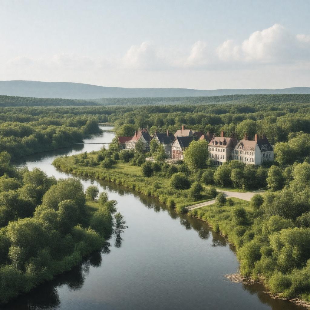
Groton, Massachusetts

GPTKB entity

Statements (53)
Predicate Object
gptkbp:instanceOf Town
gptkbp:area 36.5 square miles
gptkbp:climate Humid continental climate
gptkbp:coordinates 42.6053° N, 71.5635° W
gptkbp:demographics Diverse community
gptkbp:economy Residential and agricultural
Small businesses
gptkbp:education Private schools
Public schools
Higher education institutions nearby
gptkbp:elevation 200 feet
gptkbp:events gptkb:Grotonfest
Annual Town Meeting
Summer Concert Series
Holiday Tree Lighting
Memorial Day Parade
gptkbp:founded 1655
gptkbp:governs gptkb:Zoning_Board_of_Appeals
gptkb:Board_of_Selectmen
Historical Commission
Town Clerk
Town Administrator
Town meeting form of government
Finance_Committee
Conservation_Commission
Planning_Board
Capital_Planning_Committee
gptkbp:historicalSignificance Home_to_the_Groton_School
Site_of_the_Groton_Water_Supply
https://www.w3.org/2000/01/rdf-schema#label Groton, Massachusetts
gptkbp:landmark gptkb:The_Nashua_River_Rail_Trail
gptkb:The_Groton_Inn
gptkb:The_Groton_Town_Forest
gptkb:The_Groton_Historical_Society
The Old Burying Ground
gptkbp:locatedIn gptkb:Middlesex_County
gptkbp:notablePerson gptkb:William_Lawrence
gptkb:John_W._C._O'Connor
gptkbp:partOf gptkb:New_England
gptkbp:population 10,000
gptkbp:recreation Community events
Hiking trails
Sports leagues
Fishing spots
Parks_and_playgrounds
gptkbp:schoolDistrict gptkb:Groton-Dunstable_Regional_School_District
gptkbp:timeZone gptkb:Eastern_Time_Zone
gptkbp:transportation gptkb:MBTA_Commuter_Rail
gptkb:Route_225
gptkb:Route_119
gptkb:Interstate_495
gptkbp:website www.grotonma.gov
gptkbp:zipCode 01450