Prompt
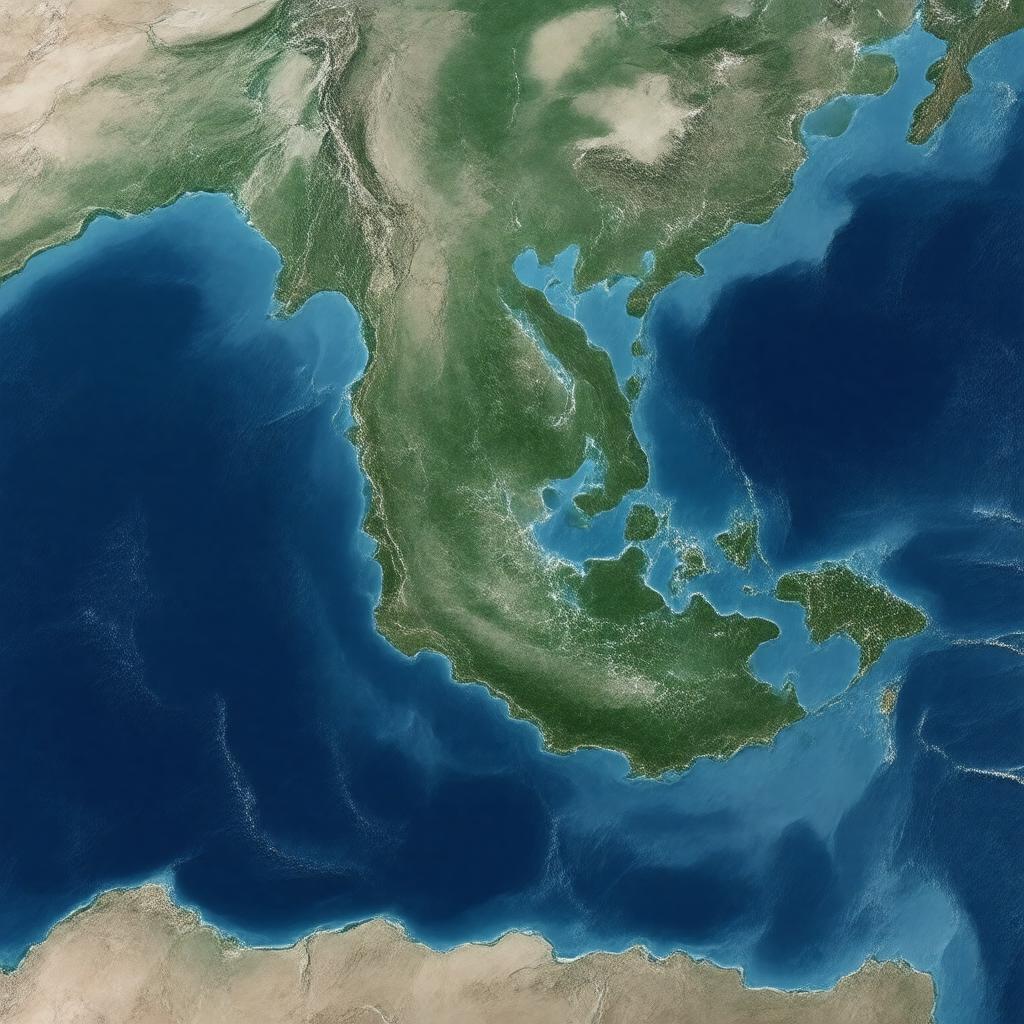
"Generate a realistic map image of the Mozambique Channel, a major waterway in the Indian Ocean, with its surrounding islands and coastlines, highlighting its width of approximately 419-460 km and length of about 1,600 km, separating Mozambique and Madagascar, with notable islands such as Comoros, Mayotte, Europa Island, Juan de Nova Island, Banc du Geyser, Bassas da India, and Glorioso Islands, in a photorealistic style."

