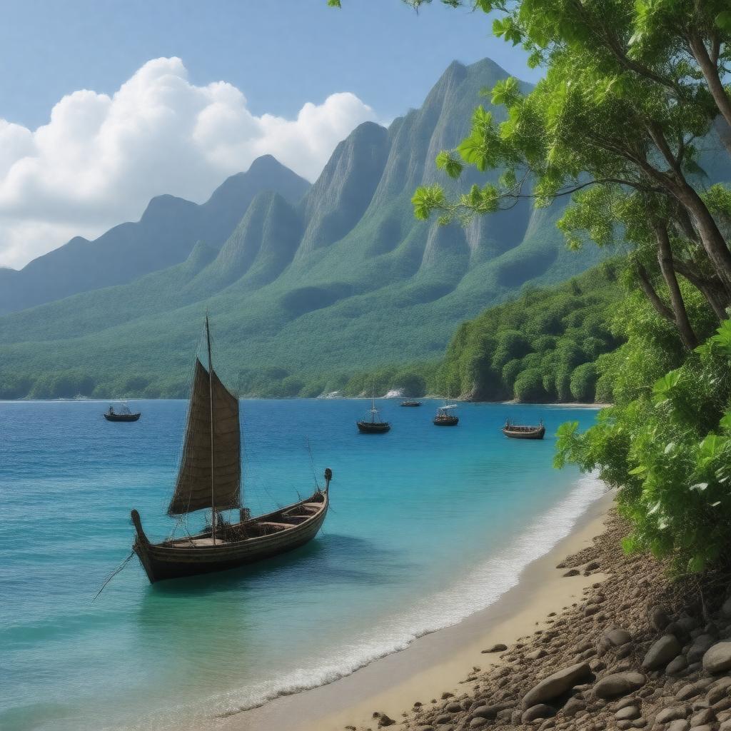
Comoros

GPTKB entity

Statements (80)
Predicate Object
gptkbp:instance_of gptkb:island
gptkb:Country
gptkbp:area 2235 km²
2,235 km²
gptkbp:bordering_countries gptkb:Mozambique
gptkb:Tanzania
gptkb:Mayotte
gptkbp:borders gptkb:Indian_Ocean
gptkbp:calling_code +269
gptkbp:capital gptkb:Moroni
gptkbp:climate tropical
tropical maritime
gptkbp:coordinates 12°10′ S 44°25′ E
gptkbp:currency Comorian franc
gptkbp:demonym Comorian
gptkbp:economic_sector gptkb:tourism
gptkb:Agriculture
Fishing
gptkbp:export_markets gptkb:Vanilla
Machinery
Petroleum products
Cloves
Foodstuffs
Ylang-ylang oil
gptkbp:famous_dish gptkb:Langouste
gptkb:Sambusa
Langouste à la vanille
Boko Boko
Mkatra Foutra
Mtsindzano
gptkbp:famous_for beaches
gptkbp:flag gptkb:Flag_of_Comoros
gptkbp:geographical_feature gptkb:volcano
coral reefs
gptkbp:government_type presidential republic
federal presidential republic
gptkbp:highest_point gptkb:Indian_Ocean
gptkb:Mount_Karthala
0 m
2361 m
https://www.w3.org/2000/01/rdf-schema#label Comoros
gptkbp:independence gptkb:France
July 6, 1975
gptkbp:internet_tld .km
gptkbp:located_in gptkb:Indian_Ocean
gptkbp:major_city gptkb:Moroni
gptkb:Moya
gptkb:Sima
Moutsamoudou
Fomboni
Domoni
Ndzuwani
gptkbp:members gptkb:Comoros_Islands
gptkbp:motto Unité, Solidarité, Développement
gptkbp:national_animal gptkb:Kudu
gptkb:Kodansha
gptkbp:national_flower Ylang-ylang
gptkbp:national_holiday gptkb:Revolution_Day
gptkb:Independence_Day
gptkbp:official_language gptkb:French
gptkb:Arabic
Comorian
gptkbp:population 806153
approximately 806,153
approximately 806,000
gptkbp:reader_demographic 78.9%
gptkbp:region gptkb:Africa
Eastern Africa
gptkbp:religion gptkb:Islam
gptkbp:sport gptkb:football
gptkbp:suburb gptkb:Mayotte
gptkb:Madagascar
gptkbp:surrounding_area gptkb:Mohéli
gptkb:Anjouan
gptkb:Grande_Comore
gptkbp:time_zone UTC+3
gptkbp:unesco_world_heritage_site gptkb:The_Great_Mosque_of_Moroni
gptkb:The_Aïr_and_Ténéré_Natural_Reserves
gptkbp:bfsParent gptkb:France
gptkbp:bfsLayer 3