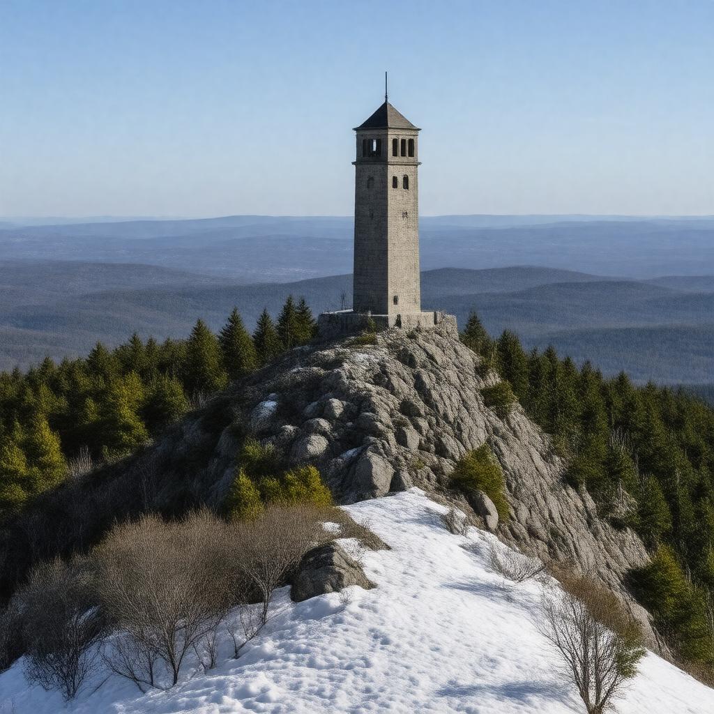
gptkbp:instanceOf
|
gptkb:mountain
|
gptkbp:country
|
gptkb:United_States
|
gptkbp:elevation
|
3,489 feet
|
gptkbp:firstAscent
|
unknown
|
gptkbp:hasFeature
|
gptkb:Bascom_Lodge
gptkb:wildlife
alpine tundra ecosystem
auto road (seasonal)
birdwatching
campgrounds
cross-country skiing
glacial geology
hiking trails
historic site
rare plant species
scenic views
skiing trails
snowshoeing
subalpine forest
|
gptkbp:hasIsolation
|
90 miles
|
gptkbp:hasObservationDeck
|
gptkb:Veterans_War_Memorial_Tower
|
gptkbp:hasSummit
|
gptkb:Veterans_War_Memorial_Tower
|
gptkbp:hasTrail
|
gptkb:Appalachian_Trail
gptkb:Thunderbolt_Trail
|
gptkbp:highestPoint
|
gptkb:Massachusetts
|
https://www.w3.org/2000/01/rdf-schema#label
|
Mount Greylock
|
gptkbp:locatedIn
|
gptkb:Berkshire_County
gptkb:Massachusetts
|
gptkbp:namedAfter
|
Grey Lock (Wawanolewat), a Woronoco chief
|
gptkbp:nearestCity
|
gptkb:Adams,_Massachusetts
gptkb:North_Adams,_Massachusetts
|
gptkbp:partOf
|
gptkb:Taconic_Mountains
|
gptkbp:prominence
|
2,464 feet
|
gptkbp:protectedArea
|
gptkb:Mount_Greylock_State_Reservation
|
gptkbp:roadType
|
gptkb:Summit_Road
|
gptkbp:bfsParent
|
gptkb:Massachusetts
|
gptkbp:bfsLayer
|
3
|