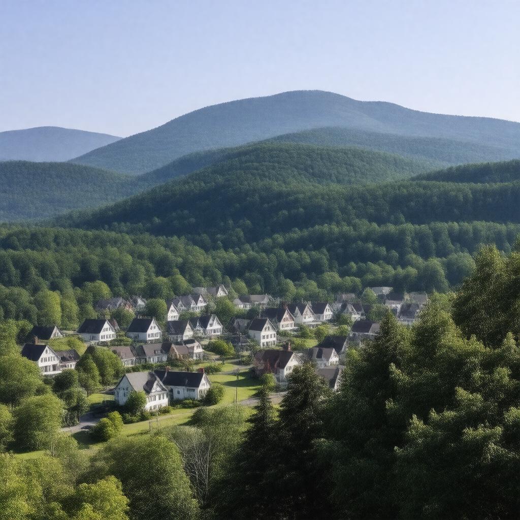
gptkbp:instanceOf
|
town
|
gptkbp:area
|
approximately 36.5 square miles
|
gptkbp:areaCode
|
413
|
gptkbp:city
|
gptkb:Adams_Town_Hall
www.adams-ma.gov
|
gptkbp:climate
|
Humid continental climate
|
gptkbp:coordinates
|
42.6281° N, 73.1167° W
|
gptkbp:demographics
|
2020
predominantly_White
|
gptkbp:education
|
private schools
public schools
|
gptkbp:elevation
|
1,200 feet
|
gptkbp:established
|
1778
|
gptkbp:governmentType
|
Open town meeting
|
gptkbp:historicalEvent
|
Railroad development
Industrial Revolution impact
|
gptkbp:historicalSignificance
|
part_of_the_Berkshires
|
gptkbp:history
|
gptkb:St._Thomas'_Church
gptkb:Berkshire_Scenic_Railway_Museum
gptkb:Adams_Free_Library
Old Stone Mill
|
https://www.w3.org/2000/01/rdf-schema#label
|
Adams, Massachusetts
|
gptkbp:localAttraction
|
gptkb:Susan_B._Anthony_Birthplace_Museum
gptkb:Hoosac_Tunnel
gptkb:Mount_Greylock
|
gptkbp:localFestival
|
gptkb:Adams_Agricultural_Fair
Winter_Festival
|
gptkbp:locatedIn
|
gptkb:Berkshire_County
|
gptkbp:majorHighway
|
gptkb:U.S._Route_8
gptkb:Massachusetts_Route_116
|
gptkbp:medianHouseholdIncome
|
approximately $50,000
|
gptkbp:namedAfter
|
gptkb:John_Adams
|
gptkbp:notablePerson
|
gptkb:Susan_B._Anthony
gptkb:John_Quincy_Adams
|
gptkbp:partOf
|
gptkb:Massachusetts
|
gptkbp:population
|
approximately 8,500
|
gptkbp:populationTrend
|
approximately 230 per square mile
|
gptkbp:recreation
|
Cultural events
Hiking trails
Parks
Fishing spots
Biking trails
Skiing nearby
|
gptkbp:schoolDistrict
|
gptkb:Adams-Cheshire_Regional_School_District
|
gptkbp:surroundingArea
|
gptkb:North_Adams
gptkb:Williamstown
Cheshire
Lanesborough
Savoy
|
gptkbp:timeZone
|
gptkb:Eastern_Standard_Time_(EST)
|
gptkbp:transportation
|
Pittsfield_Buses
Amtrak_service_in_nearby_Pittsfield
|
gptkbp:zipCode
|
01220
|