gptkbp:instanceOf
|
bay
|
gptkbp:adjacentTo
|
gptkb:Arnside_and_Silverdale
gptkb:Furness_Peninsula
gptkb:Cumbria
gptkb:Lancashire
|
gptkbp:area
|
310 km2
|
gptkbp:crosses
|
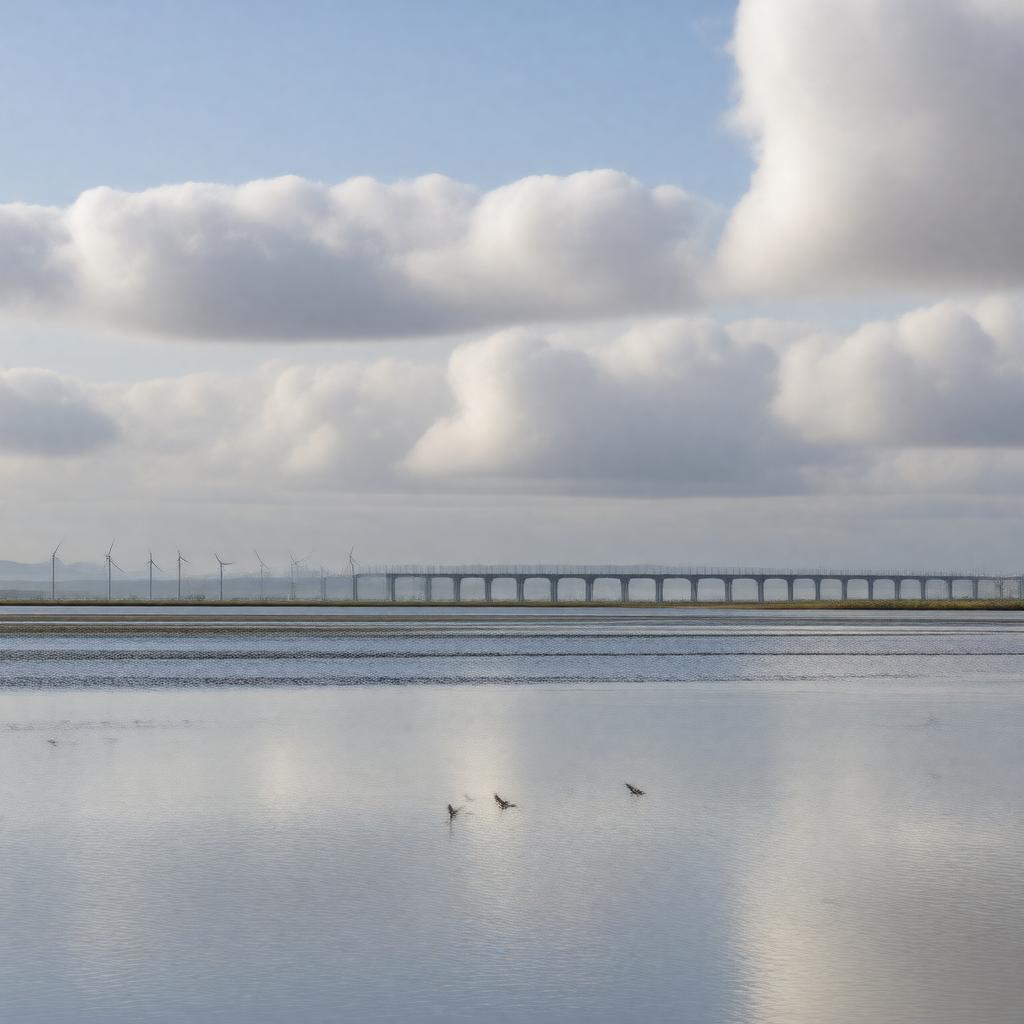
gptkb:Morecambe_Bay_railway_viaduct
historic footpaths
|
gptkbp:hasIsland
|
gptkb:Walney_Island
gptkb:Chapel_Island
gptkb:Foulney_Island
gptkb:Piel_Island
gptkb:Sheep_Island
|
gptkbp:hasPort
|
gptkb:Barrow-in-Furness_Port
gptkb:Heysham_Port
|
gptkbp:hasSaltmarsh
|
gptkb:Leighton_Moss
gptkb:Cockerham_Marsh
gptkb:Warton_Marsh
|
gptkbp:hasSandbank
|
gptkb:Flookburgh
gptkb:Grange-over-Sands
gptkb:Humphrey_Head
|
gptkbp:hasTidalRange
|
up to 10 meters
|
gptkbp:hasWildlife
|
gptkb:fish
gptkb:seafood
seals
wading birds
cockles
|
https://www.w3.org/2000/01/rdf-schema#label
|
Morecambe Bay
|
gptkbp:knownFor
|
cockle picking
dangerous quicksands
extensive tidal flats
|
gptkbp:length
|
19 km
|
gptkbp:locatedIn
|
gptkb:North_West_England
gptkb:United_Kingdom
|
gptkbp:mainCrops
|
gptkb:Walney_Wind_Farm
gptkb:Ormonde_Wind_Farm
gptkb:West_of_Duddon_Sands_Wind_Farm
|
gptkbp:nearestCity
|
gptkb:Barrow-in-Furness
gptkb:Lancaster
gptkb:Morecambe
|
gptkbp:notableEvent
|
gptkb:2004_cockling_disaster
|
gptkbp:partOf
|
gptkb:Irish_Sea
|
gptkbp:protectedArea
|
gptkb:Morecambe_Bay_Ramsar_site
gptkb:Morecambe_Bay_and_Duddon_Estuary_SPA
|
gptkbp:receivesWaterFrom
|
gptkb:River_Lune
gptkb:River_Wyre
gptkb:River_Leven
gptkb:River_Kent
|
gptkbp:touristAttraction
|
birdwatching
fishing
guided walks
|
gptkbp:traditionalGuide
|
gptkb:Queen's_Guide_to_the_Sands
|
gptkbp:width
|
16 km
|
gptkbp:bfsParent
|
gptkb:Irish_Sea
|
gptkbp:bfsLayer
|
4
|