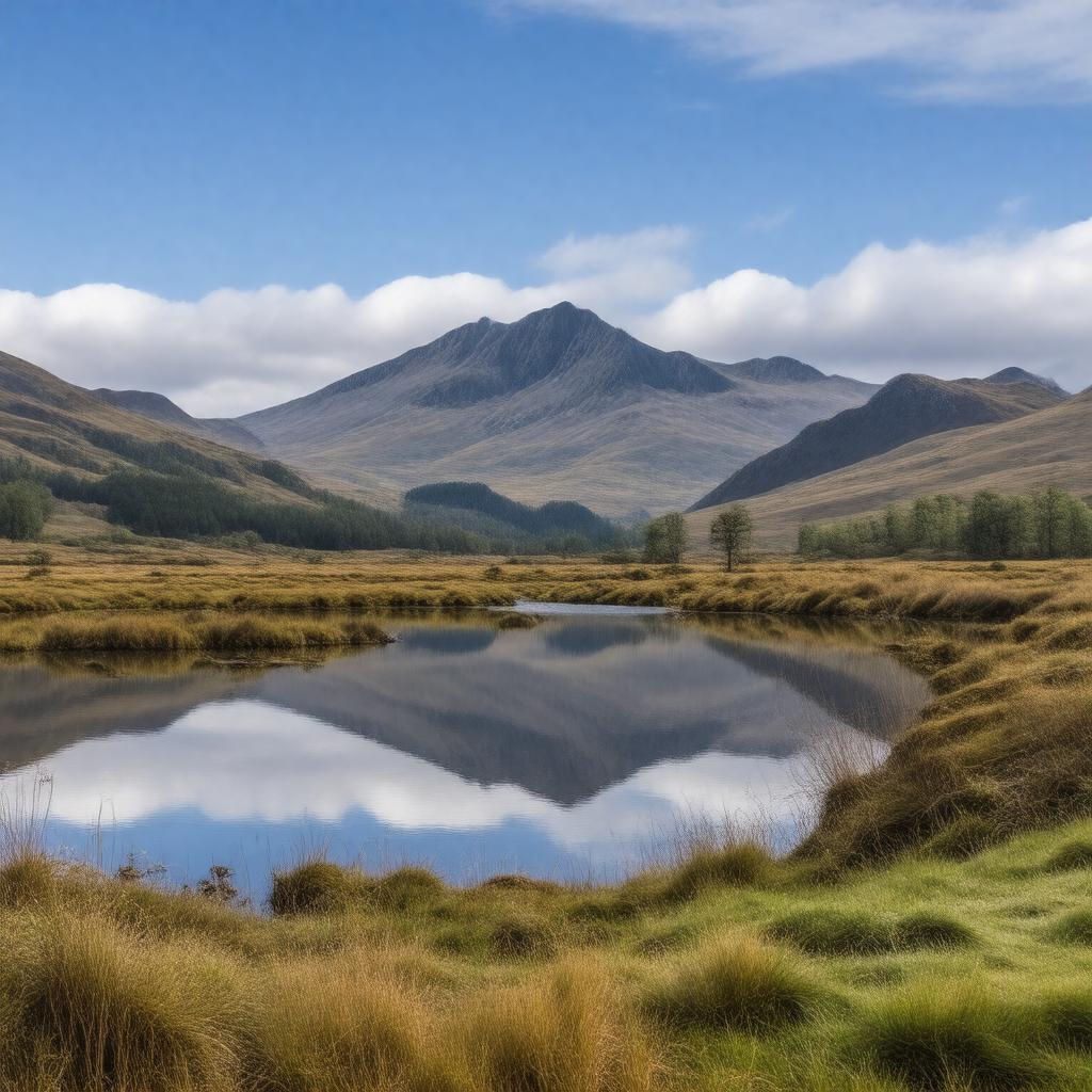
gptkbp:instanceOf
|
gptkb:historical_region
ceremonial county
|
gptkbp:area
|
6,768 km²
|
gptkbp:borders
|
gptkb:North_Yorkshire
gptkb:County_Durham
gptkb:Lancashire
Northumberland
Scottish Borders
|
gptkbp:contains
|
gptkb:Carlisle
gptkb:Windermere
gptkb:Penrith
gptkb:Furness
gptkb:Solway_Plain
gptkb:Whitehaven
gptkb:Barrow-in-Furness
gptkb:Workington
gptkb:Cumberland
gptkb:Eden_Valley
gptkb:Kendal
gptkb:Westmorland
Lake District National Park
|
gptkbp:country
|
gptkb:England
|
gptkbp:dialCode
|
01228 (Carlisle)
01229 (Barrow-in-Furness)
01539 (Kendal)
01768 (Penrith)
01900 (Workington)
|
gptkbp:established
|
1974
|
gptkbp:governingBody
|
gptkb:Westmorland_and_Furness_Council
gptkb:Cumberland_Council
|
gptkbp:highestPoint
|
gptkb:Scafell_Pike
|
gptkbp:historic_county_town
|
gptkb:Carlisle
|
https://www.w3.org/2000/01/rdf-schema#label
|
Cumbria
|
gptkbp:ISO_3166-2_code
|
gptkb:GB-CMA
|
gptkbp:notableFeature
|
gptkb:Hadrian's_Wall
gptkb:Castlerigg_Stone_Circle
gptkb:Lowther_Castle
gptkb:Muncaster_Castle
gptkb:Bassenthwaite_Lake
gptkb:Blencathra
gptkb:Coniston_Water
gptkb:Derwentwater
gptkb:Ennerdale_Water
gptkb:Helvellyn
gptkb:Skiddaw
gptkb:Ullswater
gptkb:Wast_Water
gptkb:Wordsworth_House
gptkb:Lake_Windermere
|
gptkbp:notableResident
|
gptkb:Beatrix_Potter
gptkb:John_Ruskin
gptkb:William_Wordsworth
|
gptkbp:parliamentaryConstituency
|
gptkb:Carlisle
gptkb:Copeland
gptkb:Workington
gptkb:Westmorland_and_Lonsdale
gptkb:Barrow_and_Furness
gptkb:Penrith_and_The_Border
|
gptkbp:population
|
approximately 500,000
|
gptkbp:postalCode
|
CUM
|
gptkbp:region
|
gptkb:North_West_England
|
gptkbp:website
|
https://www.cumbria.gov.uk/
|
gptkbp:bfsParent
|
gptkb:Cumberland_sausage
|
gptkbp:bfsLayer
|
4
|