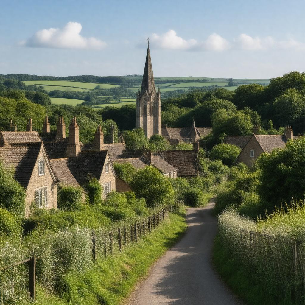
AI-created image
Statements (24)
| Predicate | Object |
|---|---|
| gptkbp:instanceOf |
gptkb:village
|
| gptkbp:adjacentTo |
gptkb:Cockfosters
gptkb:Arkley Barnet Hadley Wood |
| gptkbp:category |
Districts of the London Borough of Barnet
Villages in London |
| gptkbp:country |
gptkb:England
|
| gptkbp:dialCode |
020
|
| gptkbp:hasConservationArea |
gptkb:Monken_Hadley_Conservation_Area
|
| gptkbp:historicalCounty |
gptkb:Middlesex
|
| gptkbp:locatedIn |
gptkb:London_Borough_of_Barnet
|
| gptkbp:notableEvent |
gptkb:Battle_of_Barnet
|
| gptkbp:notableLandmark |
gptkb:Hadley_Green
gptkb:St_Mary_the_Virgin_Church |
| gptkbp:osGridReference |
TQ255975
|
| gptkbp:parish |
gptkb:St_Mary_the_Virgin_Church
|
| gptkbp:parliamentaryConstituency |
gptkb:Chipping_Barnet
|
| gptkbp:postcodeDistrict |
EN5
|
| gptkbp:postTown |
Barnet
|
| gptkbp:region |
gptkb:Greater_London
|
| gptkbp:bfsParent |
gptkb:High_Barnet
|
| gptkbp:bfsLayer |
5
|
| http://www.w3.org/2000/01/rdf-schema#label |
Monken Hadley
|