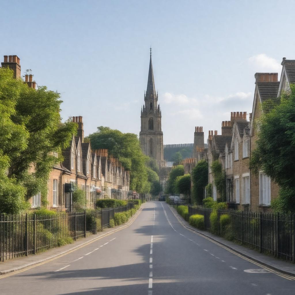
gptkbp:instanceOf
|
gptkb:Parliament_of_the_United_Kingdom
gptkb:town
|
gptkbp:constituencyType
|
borough constituency
|
gptkbp:country
|
gptkb:England
|
gptkbp:dialCode
|
020
|
gptkbp:distanceFromLondon
|
10.5 miles north
|
gptkbp:hasFootballClub
|
gptkb:Barnet_F.C.
|
gptkbp:hasLibrary
|
gptkb:Chipping_Barnet_Library
|
gptkbp:hasLondonBoroughCouncil
|
Barnet London Borough Council
|
gptkbp:hasMarket
|
gptkb:Barnet_Market
|
gptkbp:hasPark
|
gptkb:Barnet_Playing_Fields
gptkb:King_George's_Fields
gptkb:Old_Court_House_Recreation_Ground
|
gptkbp:hasPopulation
|
47,359
|
gptkbp:hasPrimarySchool
|
gptkb:Foulds_School
|
gptkbp:hasRailwayStation
|
gptkb:High_Barnet_station
|
gptkbp:hasRoute
|
gptkb:Barnet_Church
|
gptkbp:hasSecondarySchool
|
gptkb:Barnet_and_Southgate_College
gptkb:Queen_Elizabeth's_School,_Barnet
|
gptkbp:hasShoppingCentre
|
gptkb:The_Spires_Shopping_Centre
|
gptkbp:historicalCounty
|
gptkb:Hertfordshire
|
gptkbp:historicalEvent
|
gptkb:Battle_of_Barnet_(1471)
|
https://www.w3.org/2000/01/rdf-schema#label
|
Chipping Barnet
|
gptkbp:locatedIn
|
gptkb:Greater_London
gptkb:London_Borough_of_Barnet
|
gptkbp:marketCharterGranted
|
1199
|
gptkbp:nearby
|
gptkb:Cockfosters
gptkb:Arkley
gptkb:Hadley
East Barnet
Friern Barnet
New Barnet
Southgate
Totteridge
Whetstone
|
gptkbp:notableEvent
|
gptkb:Battle_of_Barnet
|
gptkbp:notableLandmark
|
gptkb:Barnet_Hospital
gptkb:St_John_the_Baptist_Church
gptkb:Barnet_College
|
gptkbp:osGridReference
|
TQ245965
|
gptkbp:parliamentaryConstituency
|
gptkb:Barnet_and_Camden
|
gptkbp:parliamentaryConstituencyCreated
|
1974
|
gptkbp:postcodeDistrict
|
EN5
|
gptkbp:region
|
gptkb:London
|
gptkbp:represents
|
gptkb:Theresa_Villiers
|
gptkbp:stateElectorate
|
73,000 (approx)
|
gptkbp:twinTown
|
gptkb:Tempelhof-Schöneberg
gptkb:Montclair,_New_Jersey
gptkb:Le_Raincy
|
gptkbp:bfsParent
|
gptkb:High_Barnet
|
gptkbp:bfsLayer
|
5
|