Prompt
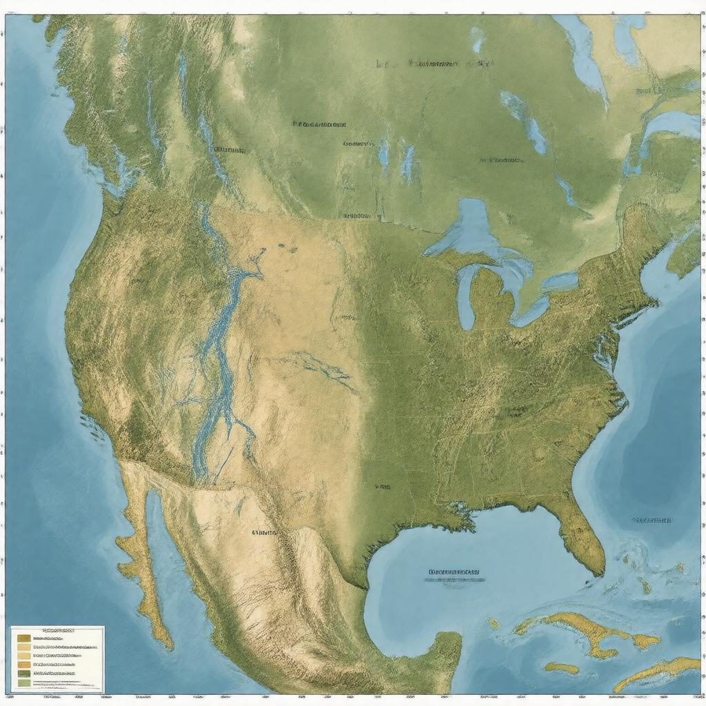
"Generate an image of a map of the Missouri River watershed, which is the largest watershed in North America, covering an area of approximately 529,350 square miles across parts of the United States and a small part of Canada. The map should include the Missouri River and its tributaries, such as the Platte River, Yellowstone River, James River, and others, as well as the states it spans across, including Montana, North Dakota, South Dakota, Nebraska, Iowa, Kansas, Missouri, Wyoming, Colorado, Minnesota, and others. The style should be a realistic and detailed illustration of the watershed's geography, with clear labels and markings to distinguish between different rivers, states, and geographical features."

