Prompt
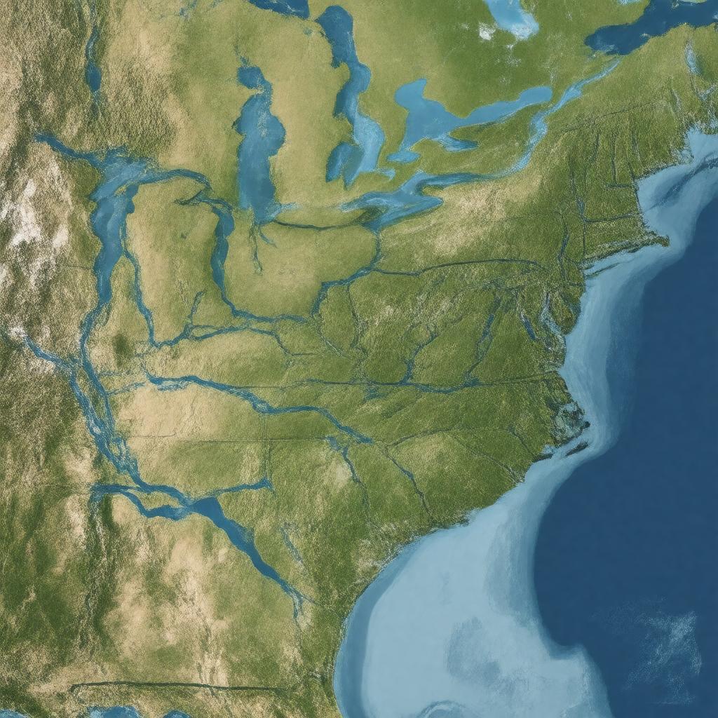
"Generate an image of a vast, aerial view of the Mississippi River Basin, showcasing its sprawling network of rivers, including the Mississippi River, Missouri River, Ohio River, Arkansas River, Red River, and Illinois River, flowing through the heart of North America, covering parts of 31 U.S. states and 2 Canadian provinces, with the Gulf of Mexico in the distance, highlighting its significance as the largest drainage basin in North America, a major transportation corridor, and a vital region for agriculture and diverse ecosystems, in a realistic and detailed style."

