Mississippi National River and Recreation Area

GPTKB entity
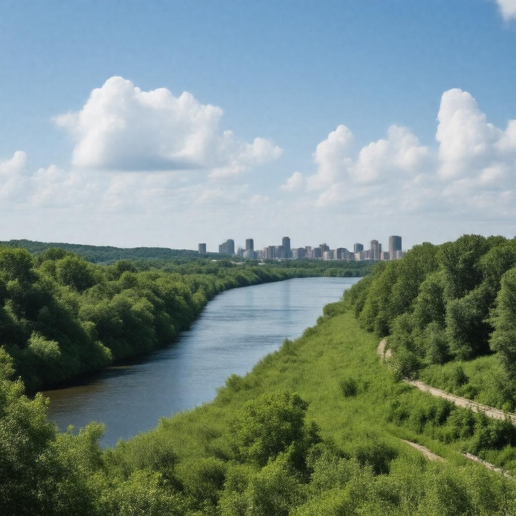
AI-created image of Mississippi National River and Recreation Area
AI-created image

Statements (53)
Predicate Object
gptkbp:instanceOf gptkb:nature_reserve
gptkbp:area 54,000 acres
72 miles
gptkbp:contains gptkb:Minneapolis
gptkb:Saint_Paul
gptkbp:country gptkb:United_States
gptkbp:established 1988
gptkbp:followedBy gptkb:Mississippi_River
gptkbp:governingBody gptkb:National_Park_Service
gptkbp:hasFeature gptkb:Bohemian_Flats
gptkb:Bruce_Vento_Nature_Sanctuary
gptkb:Coldwater_Spring
gptkb:Crosby_Farm_Regional_Park
gptkb:Ford_Dam
gptkb:Fort_Snelling
gptkb:Great_River_Road
gptkb:Harriet_Island_Regional_Park
gptkb:Hidden_Falls_Regional_Park
gptkb:Indian_Mounds_Park
gptkb:Lilydale_Regional_Park
gptkb:Lock_and_Dam_No._1
gptkb:Lock_and_Dam_No._2
gptkb:Longfellow_House
gptkb:Lower_St._Anthony_Falls_Lock_and_Dam
gptkb:Meeker_Island_Lock_and_Dam
gptkb:Mill_Ruins_Park
gptkb:Minnehaha_Falls
gptkb:Mississippi_Gorge_Regional_Park
gptkb:Mississippi_River_Trail
gptkb:Mississippi_River_Visitor_Center
gptkb:Pickerel_Lake
gptkb:Pig's_Eye_Lake
gptkb:Raspberry_Island
gptkb:Saint_Anthony_Falls
gptkb:Science_Museum_of_Minnesota
gptkb:Spring_Lake_Park_Reserve
gptkb:Upper_St._Anthony_Falls_Lock_and_Dam
gptkb:Wabasha_Street_Caves
gptkb:Water_Power_Park
https://www.w3.org/2000/01/rdf-schema#label Mississippi National River and Recreation Area
gptkbp:IUCNStatus V
gptkbp:location gptkb:Minnesota
gptkbp:nearestCity gptkb:Minneapolis
gptkb:Saint_Paul
gptkbp:offersActivity birdwatching
canoeing
hiking
biking
gptkbp:partOf gptkb:National_Park_System
gptkbp:website https://www.nps.gov/miss/index.htm
gptkbp:bfsParent gptkb:Mississippi_River
gptkb:National_Historic_Landmark
gptkbp:bfsLayer 4